The DJI Neo has burst onto the market as the brand's most accessible drone, weighing under 200 grams and capable of taking off from the palm of your hand. However, its true potential for the geomatics sector lies in its artificial intelligence tracking system and 4K camera. In this article, we analyze whether this small device can be integrated into 3D surveying workflows for expedited surveys of small areas, or if its technical shortcomings relegate it to a mere consumer gadget.
Data capture and point cloud generation with the DJI Neo 🚁
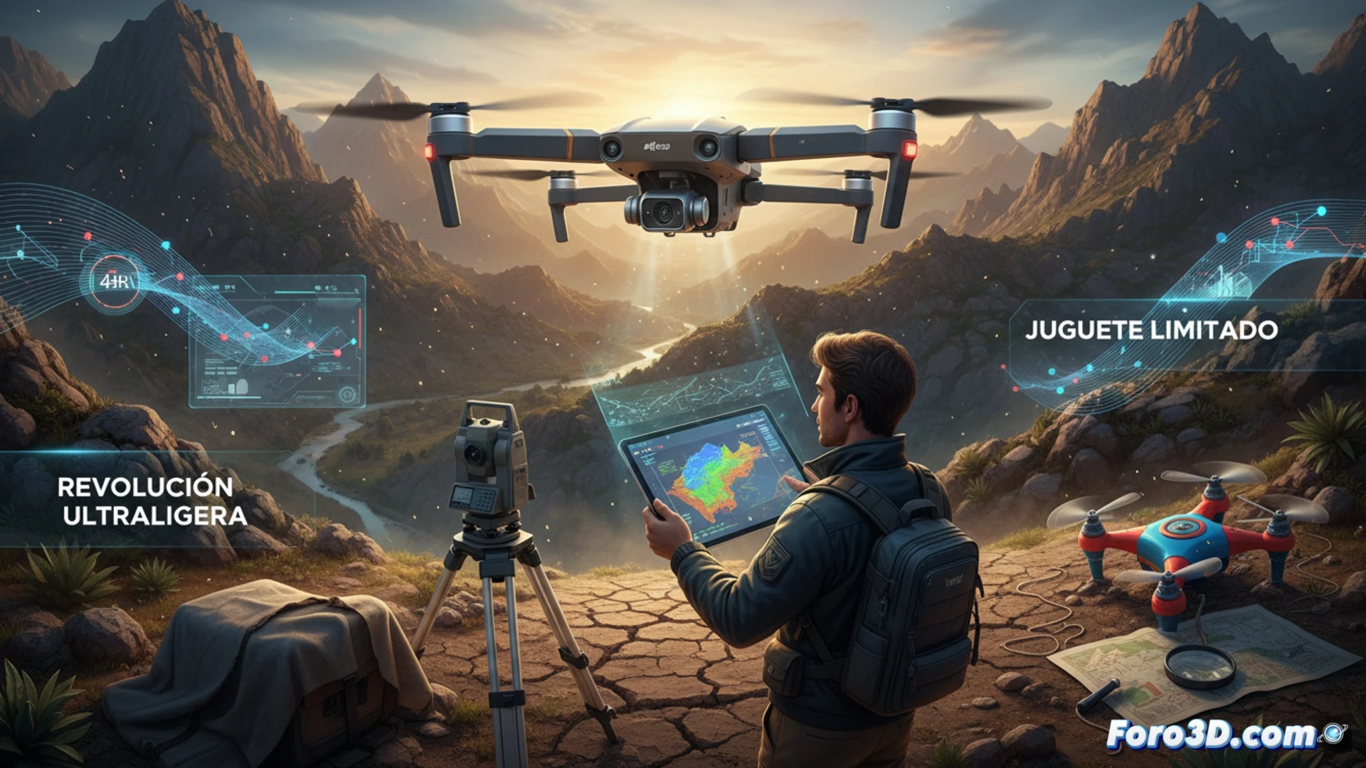
For a surveyor, the key to the DJI Neo lies in its ability to execute programmed flights using the DJI Fly app, allowing flight route planning for low-altitude photogrammetry. The stabilized 12-megapixel camera records 4K video and captures images that, after processing with software like Agisoft Metashape or Pix4Dmatic, can generate dense point clouds and 3D terrain models in areas smaller than one hectare. However, the absence of an RTK or PPK module introduces significant positional error, requiring the use of ground control points (GCPs) to georeference the model with centimeter accuracy. Furthermore, its battery life of just 18 minutes of effective flight limits coverage per mission, necessitating a flight plan fragmented into multiple sessions.
Is the DJI Neo viable for professional geomatics work? 🧭
The DJI Neo will not replace a Phantom 4 RTK or a Matrice 350 on a linear infrastructure project, but it does represent an ideal complementary tool for preliminary surveys, small slope inspections, or emergency surveys where portability is critical. Its true value lies in democratizing access to aerial photogrammetry for independent professionals or small consulting firms. The final decision depends on the project's error tolerance: if decimetric accuracy is acceptable after using GCPs, the Neo delivers; if centimetric accuracy without differential correction is required, it is better to look for another platform.
Does the absence of an integrated RTK module in the DJI Neo invalidate its use for precision cadastral surveys, or can it be compensated for with post-processing and control points?
(PS: 3D surveying is like making a treasure map, but the treasure is an accurate model.)