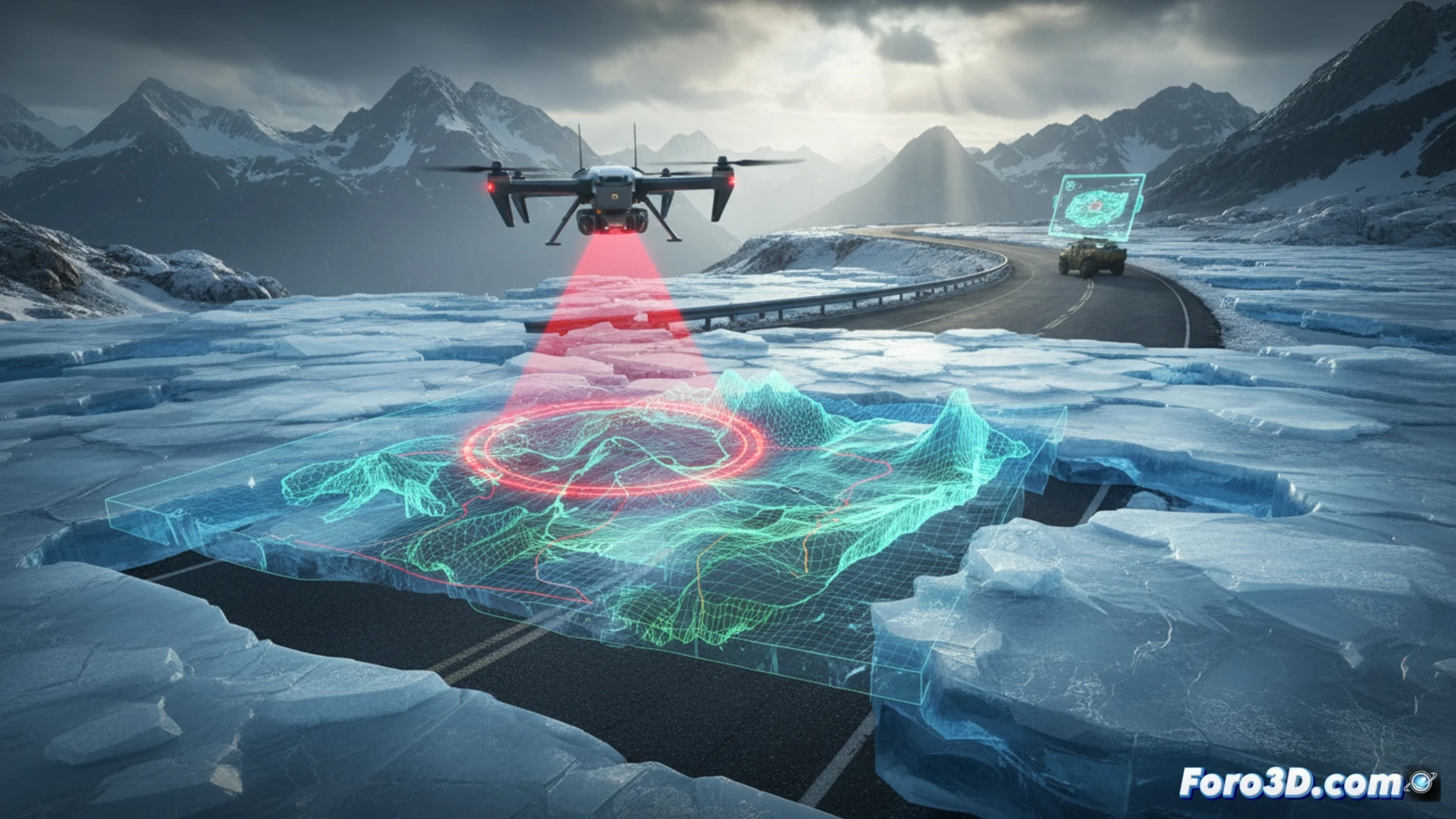
The formation of ice sheets on mountain roads represents one of the most dangerous phenomena for road safety, capable of causing massive landslides or structural collapses without warning. Thanks to 3D modeling technologies, it is now possible to diagnose these ice masses with millimeter precision. Through aerial photogrammetry with drones and LiDAR scanning, engineers can capture the exact topography of the road and adjacent ice formations, generating point clouds that reveal cracks, thicknesses, and stress zones hidden from plain sight.
Photogrammetry and digital twins for risk assessment 🧊
The process begins with capturing high-resolution images from multiple angles, which photogrammetry software converts into a textured three-dimensional model of the ice sheet and its geological environment. This digital twin allows simulating extreme weather conditions, such as temperature increases or rain on ice, to predict fracture points. On roads like the RN7 in the Andes or the Brenner Pass in the Alps, these models have identified hanging ice sheets weighing over 50 tons, triggering preventive closure protocols and controlled blasting before a catastrophic detachment occurred.
From simulation to safety: a paradigm shift 🚧
The true revolution lies not just in seeing the ice in 3D, but in anticipating its behavior. By integrating the models with real-time meteorological data, authorities can issue early warnings and deploy emergency teams with simulated evacuation routes. This approach transforms ice sheet diagnosis from a delayed reaction into a predictive tool, saving lives by turning the road into an intelligent system capable of speaking before the ice breaks.
How can 3D diagnosis of ice sheets accurately predict critical risk points on mountain roads before the ice layer forms?
(PS: Simulating catastrophes is fun until the computer crashes and you are the catastrophe.)