A turbine in an offshore wind farm presents a critical tilt threatening its stability. Visual inspections are insufficient to understand the phenomenon. A Teledyne PDS multibeam sonar system and a BlueView 3D sonar are deployed to map the seabed. The data reveals an asymmetric scour hole at the foundation base, where currents have washed away the sand, exposing the steel structure. The rock protection designed to mitigate scouring has been displaced, evidencing a failure in the original hydraulic model that underestimated flow velocity during storms.
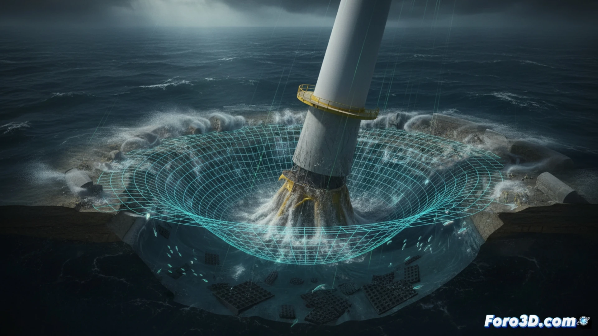
Scour analysis with BlueView and Teledyne PDS 🌊
The BlueView 3D sonar generates a high-density point cloud that captures every irregularity of the seabed. Overlaying these meshes onto the original CAD model in Rhino 3D allows precise measurement of the scour depth, reaching 4.2 meters on the side exposed to the main current. Teledyne PDS multibeam data confirms that the volume of lost sediment exceeds the design hydraulic model's estimate by 35%. The rock protection, composed of 1 to 3-ton blocks, shows a dispersion pattern towards the northeast, indicating that the flow exceeded the calculated critical entrainment velocity. Direct comparison between the actual seabed and the simulation reveals that the model did not consider the interaction between monopile turbulence and tidal currents.
Lessons to prevent offshore infrastructure collapse ⚠️
This case demonstrates that static hydraulic simulation is insufficient for predicting long-term erosion. Integrating real-time 3D sonar data with predictive models in Rhino 3D would allow adjusting the rock protection design with an asymmetric distribution reinforcing the windward side. It is recommended to install pressure sensors on the seabed and repeat multibeam mapping every six months during the first two years of operation. If modeling protocols are not updated, scouring will remain a silent threat capable of destabilizing foundations in offshore wind farms, with catastrophic economic and environmental consequences.
How can 3D diagnosis through laser scanning and digital modeling identify the exact point of underwater erosion that caused the critical tilt of the offshore wind turbine, overcoming the limitations of traditional visual inspections?
(PS: Simulating catastrophes is fun until the computer crashes and you are the catastrophe.)