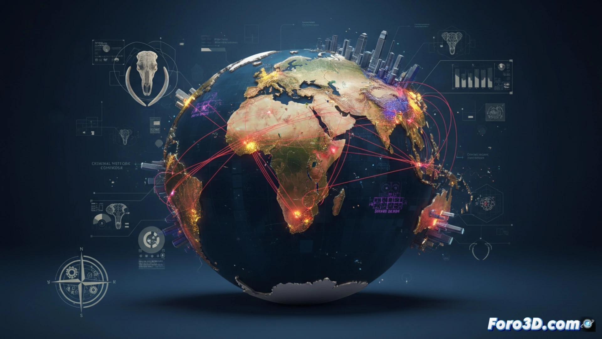
Elephant poaching is not just an ecological tragedy, but a complex logistical and geopolitical problem. Each seized tusk travels thousands of kilometers from African savannas to Asian workshops. Thanks to Geographic Information Systems (GIS) technology and 3D modeling, we can now digitally reconstruct these illegal routes, visualizing the blind spots in customs control and the transit corridors exploited by criminal networks.
Geospatial analysis and simulation of smuggling flows 🗺️
The methodology used combines historical seizure data with remote sensors and digital elevation models. Using GIS software, least-cost path algorithms are applied to predict the most likely routes to key ports such as Mombasa or Dar es Salaam. 3D visualization allows overlaying layers of patrol density, origin points (national parks), and secondary road networks. Heat maps are generated that reveal activity clusters on the border between Tanzania and Mozambique. Furthermore, simulating disruption scenarios, such as reinforcing controls at a specific port, allows modeling the shift of flow towards alternative routes, offering a predictive tool for security forces.
The map as a weapon against geographic impunity 🛡️
This tracking capability not only exposes criminal logistics but also lays bare geopolitical complicity. By visualizing ivory from its origin in fragile ecosystems to its destination in luxury markets, the fiction of trafficking as a local problem is shattered. 3D modeling transforms abstract data into a powerful visual narrative: each pixel on the map represents a lost animal life and a corrupt link in the global supply chain. GIS technology thus becomes an irrefutable digital witness.
How could 3D mapping of illegal ivory trafficking reveal the blind spots in global logistics routes that criminal networks exploit to evade current geopolitical controls
(PS: 3D geopolitics looks so good it makes you want to invade countries just to see it rendered)