3D technology offers the postman tools to optimize routes, visualize obstacles, and manage deliveries. A clear example: modeling a neighborhood in 3D to predict blocked access or problematic stairs. This reduces time and prevents returns. The necessary programs are Blender for modeling, QGIS for geospatial data, and Unity for simulating routes.
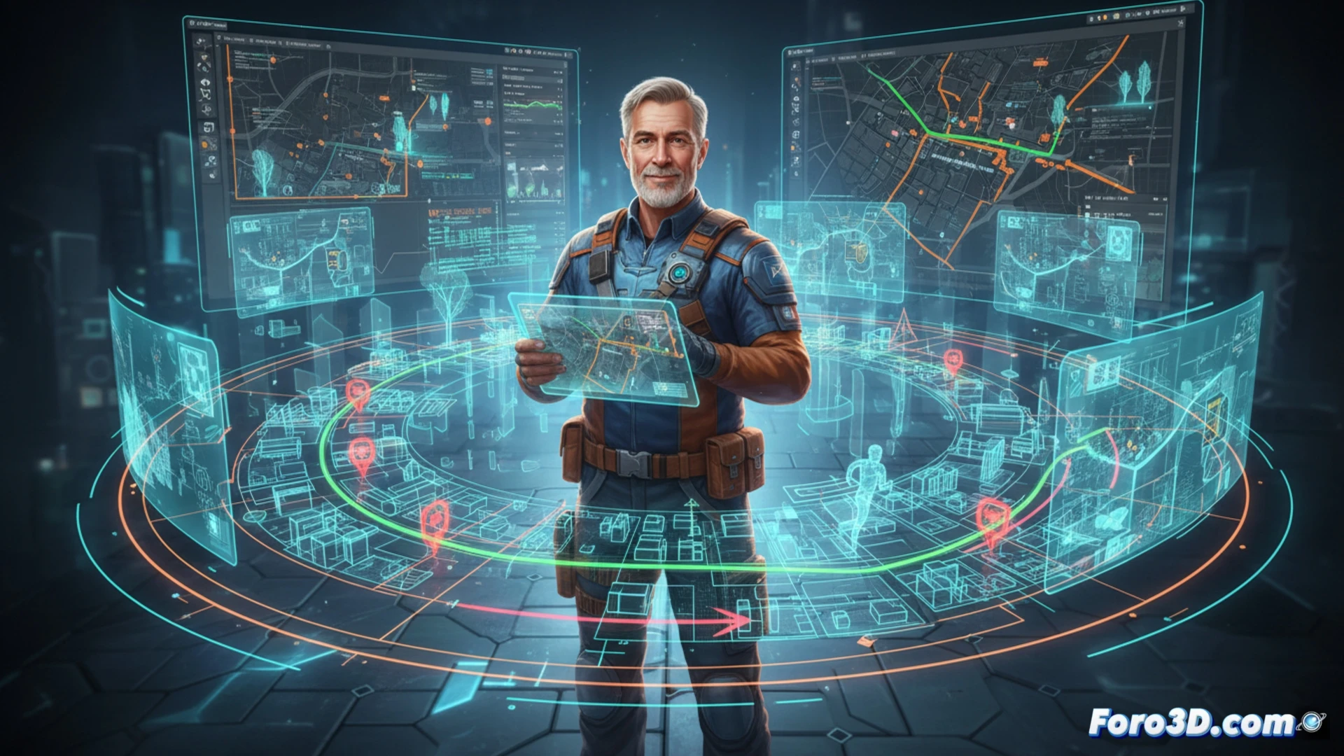
Route modeling with Blender and GIS 🚚
The postman can import cadastral data into QGIS and generate a 3D terrain in Blender. Then, with a Python script, optimal paths are traced that avoid steep slopes or doorways without elevators. Unity allows simulating the delivery with climatic or pedestrian traffic variables. Everything is exported to a lightweight viewer for the postman's mobile phone. The cost is almost zero, only learning time.
The 3D postman who doesn't need a paper map 😅
Sure, because what every postman dreams of is carrying virtual reality glasses to deliver mail. Imagine the scene: the postman crashes into a mailbox because the 3D model didn't foresee that the neighbor moved it. Or worse, the simulation says there's a dog, but the real dog is a lap poodle. In the end, the mobile GPS and the dog's memory suffice. But hey, the 3D modeling looks nice in the presentation.