NASA's Aqua satellite, with its MODIS instrument, has been a silent sentinel against wildfires for years. It detects the first sparks by measuring infrared radiation, allowing emergency services to act quickly. But since 2005, an unexpected enemy has entered the scene: space debris.
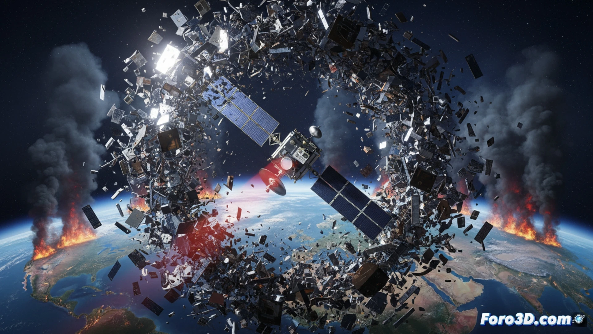
Evasive maneuvers create blind spots on the fire map 🛰️
To dodge fragments of orbital junk, Aqua performs frequent evasive maneuvers. Each deviation alters its orbit and creates temporary gaps in coverage. According to Earth observation system data, these blind spots allow fires to spread unwatched. The result is a fire map with holes that put lives and thousands of hectares of land at risk.
Space debris: the new involuntary arsonist 🔥
It turns out that lightning or human carelessness are not the only causes of fires. Now, the junk we leave floating in space also helps fire spread without anyone seeing it. It's like covering our eyes to avoid being hit by a car, letting the house burn down. The irony is that we fight space debris by creating more disasters on Earth.