Archaeologists have located a network of underground canals in Iraq that functioned as a trade route four millennia ago. The discovery was made possible thanks to declassified images from Cold War spy satellites. For the public, this demonstrates that ancient civilizations already connected regions to exchange goods, a practice reminiscent of modern trade routes. Trade and connection between peoples are age-old activities that shaped history.
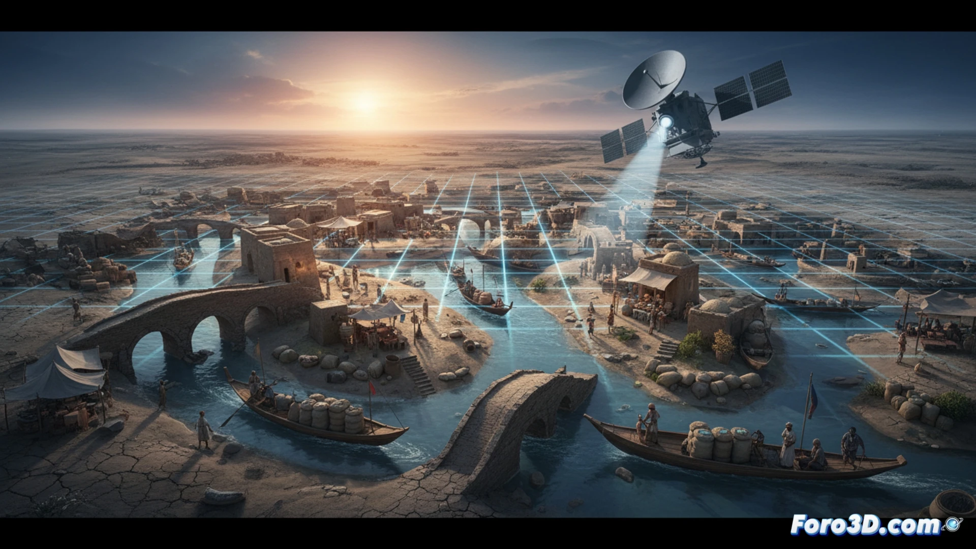
Spy satellites reveal ancient hydraulic engineering 🛰️
Images from US satellites from the 1960s, designed to detect Soviet missiles, managed to capture traces of canals beneath the desert. Researchers used digital filters to highlight these structures, which connected the Euphrates River with inland areas. The network, several kilometers long, allowed the transit of barges carrying goods. This method shows how military technology, now declassified, serves to understand irrigation and trade systems from the Bronze Age.
Waze of the Bronze Age: avoid traffic jams on the canal 🚤
Imagine a Sumerian complaining that his barge is slow because the boat ahead is carrying too many copper ingots. The underground canals apparently functioned as a fast lane to avoid the heat and toll checkpoints. The most curious thing is that we need spy satellite photos to discover that our ancestors already had their own river highway, just without a gas station or rest area with snack dates.