Andrés Mejía presented his map of La Mancha identity during the III Book Fair of Argamasilla de Calatrava. The work explores the cultural roots, traditions, and identity hallmarks of La Mancha, offering a geographical and symbolic vision of the region. Mejía highlighted the importance of preserving intangible heritage, such as language, gastronomy, and popular customs, in the face of globalization.
A GIS to not get lost among windmills and customs 🗺️
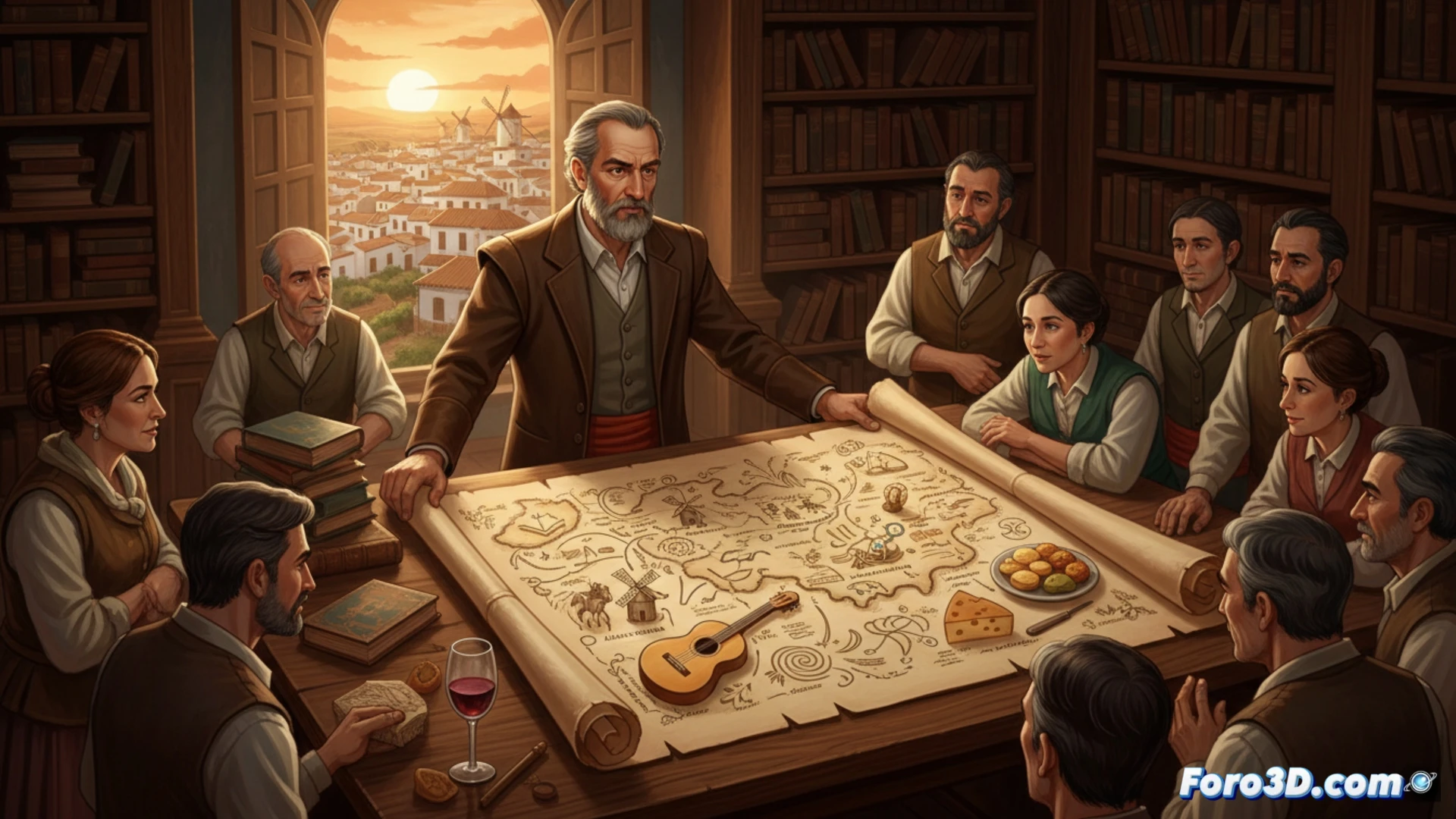
The map integrates layers of historical and literary data with geographic information systems. Each point includes references to Cervantes' characters, landscapes like the windmills of Consuegra, and transhumance routes. Mejía used open-source software to geolocate elements of intangible heritage, such as sayings, typical dishes, and local festivities. The result is a digital tool that allows exploring the region from a cultural and technical perspective.
Don Quixote already has GPS, but still doesn't see giants 🤖
The map promises you won't get lost among vineyards, although if you're one of those who mistakes a flock of sheep for an enemy army, you might need more than a GIS. Mejía even included the smell of gazpacho manchego in the data layers, but it doesn't warn if the wind of La Mancha is going to mess up your hair. At least, if you get lost, you'll know where to find a good pisto and a restorative nap.