Recent statements from high-ranking Iranian officials, warning about the annihilation of U.S. soldiers in a hypothetical invasion, shift geopolitical tension to the concrete military terrain. Beyond the rhetoric, these threats outline a specific war scenario in the Persian Gulf. At Foro3D, we propose going beyond textual analysis and using 3D modeling and simulation tools to deconstruct, visualize, and spatially analyze this potential conflict, transforming words into a comprehensible tactical and geospatial scenario.
Digital Twins and Terrain Simulations for Strategic Analysis 🗺️
The first practical application would be the creation of a geospatial digital twin of the Persian Gulf. Using topographic, bathymetric, and infrastructure data, we could accurately model the conflict zone. Over this model, different scenarios could be simulated: the deployment of U.S. amphibious forces, the disposition of Iranian coastal and missile defenses, or critical access routes like the Strait of Hormuz. Simulation tools would allow testing variables such as troop density, effective weapon ranges, or deployment times, offering a dynamic view of the tactical advantages and risks for each side beyond mere speculation.
From Rhetoric to Visualization: The Power of Spatial Analysis 🧠
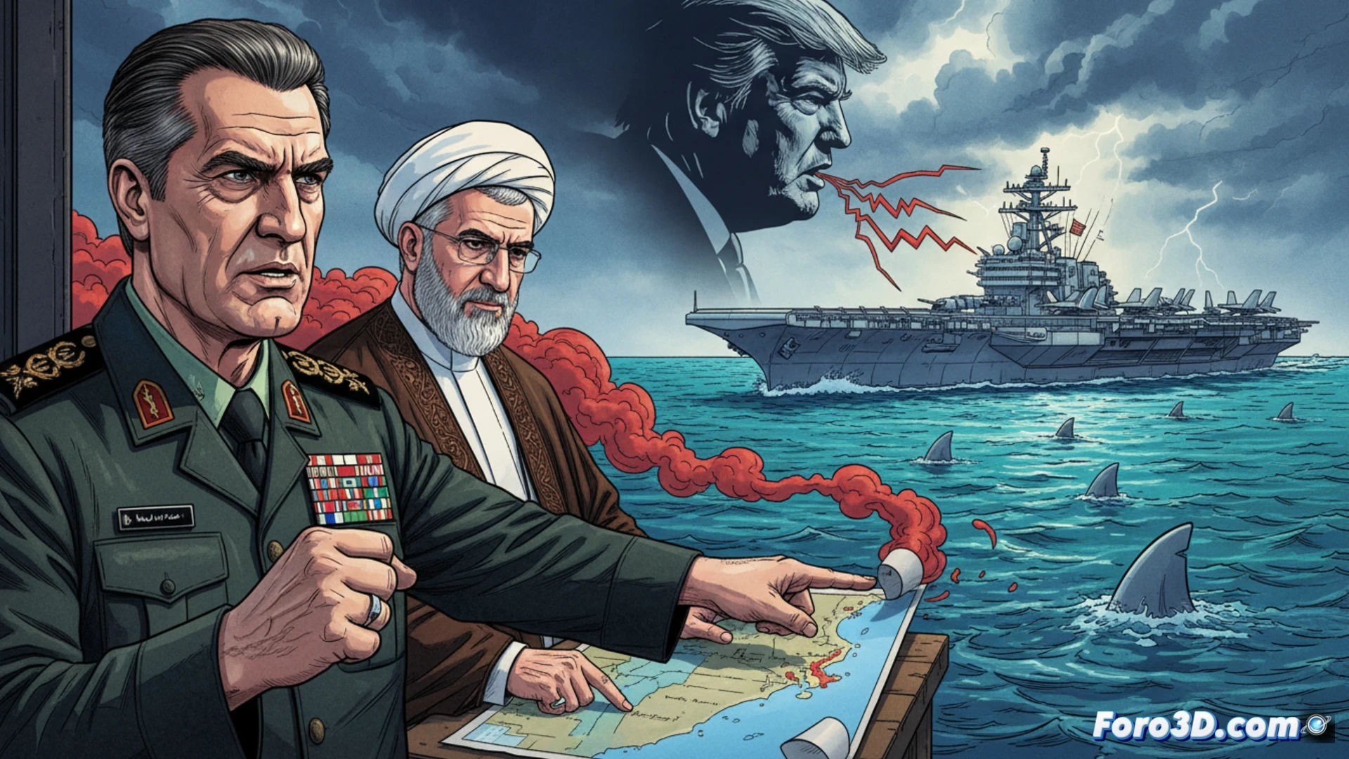
This 3D visualization exercise does not seek to glorify conflict, but to break down war rhetoric into analyzable components. By modeling the phrase shark bait, for example, the vulnerability of forces in a landing against pre-positioned asymmetric defenses could be visualized. This approach transforms political statements into testable spatial hypotheses, fostering a cooler, more technical analysis. The conclusion is clear: 3D technology is a powerful tool for understanding the real, geographical, and tactical dimension underlying any verbal escalation in a conflict.
How can geospatial 3D modeling and scenario simulation help evaluate the tactical vulnerabilities and strategic consequences of an Iranian attack against U.S. positions in the Strait of Hormuz?
(P.S.: 3D conflict simulation will never replace peace, but it helps understand the magnitude)