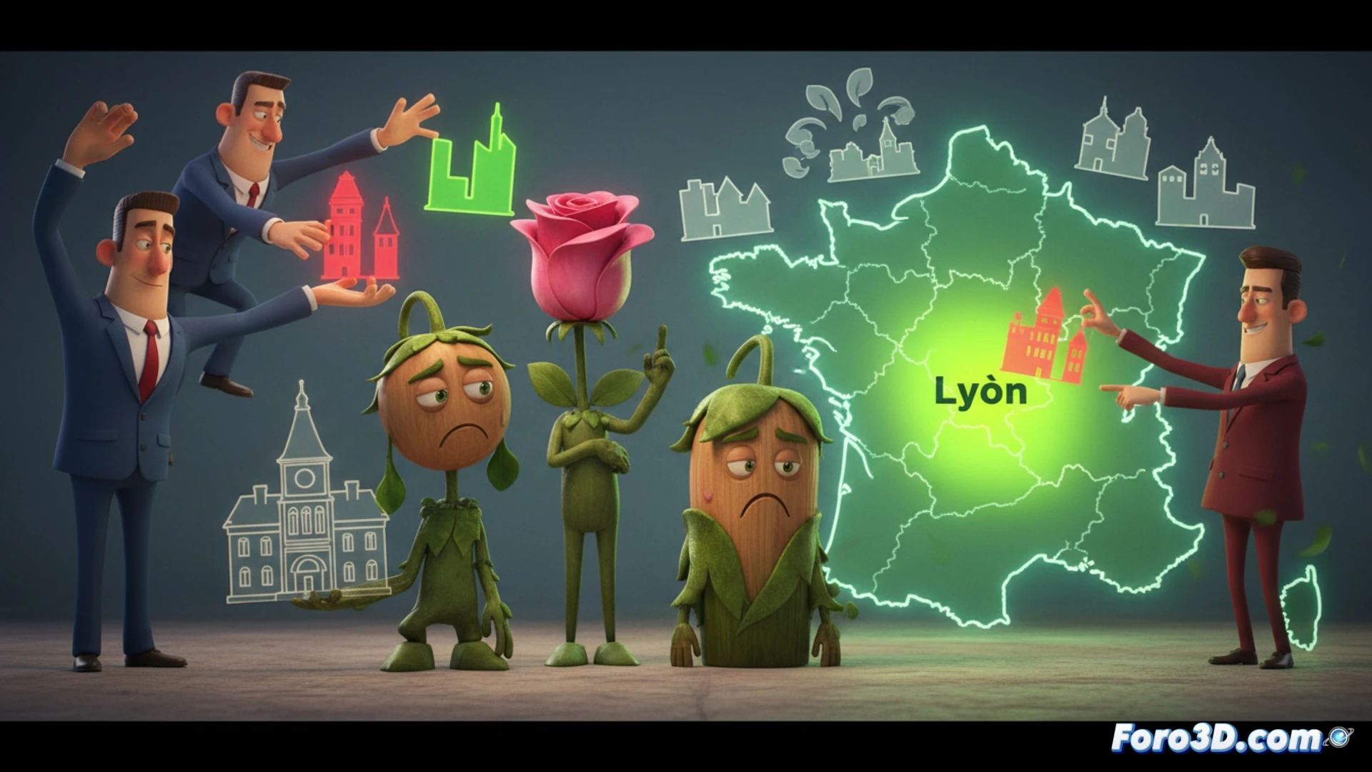
French ecologists lost six cities in the last municipal elections, a setback that analysts attribute to problems of social rootedness and communication. This case exemplifies a universal political challenge: how to transform a one-off protest vote into stable management with majority support. This is where data visualization and 3D stop being design tools to become essential instruments of political diagnosis, allowing complex dynamics to be analyzed and communicated in an intuitive way.
Interactive 3D maps and scenario simulation 🗺️
Imagine a geolocated 3D map of those cities, where neighborhoods rise in height according to abstention or the vote for the Greens in 2020 versus 2024. An overlaid layer could show the density of neighborhood associations, revealing correlations between social fabric and the vote. Beyond analysis, simulation tools would allow modeling scenarios: how would citizen perception have varied with different communication about mobility policies? A 3D model of the city, with animated traffic flows and green spaces according to proposals, would help turn abstract debates into tangible experiences for the citizen.
From data to democratic narrative 📊
Technology does not solve management or communication problems on its own, but it offers a crucial bridge. Transforming electoral and social data into visual and interactive landscapes allows parties and citizens to diagnose failures objectively, going beyond superficial analysis. In the niche of digital participation, these tools are key to building an understandable political narrative, fostering a more informed public debate and clearer accountability regarding the connection between project, communication, and citizen support.
How could interactive 3D visualizations help political parties, like the French ecologists, diagnose and communicate their territorial social rootedness after an electoral setback?
(PS: visualizing a political debate in 3D is easy, the hard part is making it not look like a WWE match) 🥊