The Perseverance rover has unveiled a hidden geological structure on Mars that redefines our understanding of the planet's past. Using its RIMFAX ground-penetrating radar, the vehicle scanned the subsurface of Jezero Crater, revealing the remains of a massive ancient buried river delta. This discovery, made possible by scientific data visualization, confirms that water flowed sustainably, creating an environment with high habitability potential billions of years ago.
RIMFAX and 3D Modeling: the Technology That Makes the Invisible Visible 🛰️
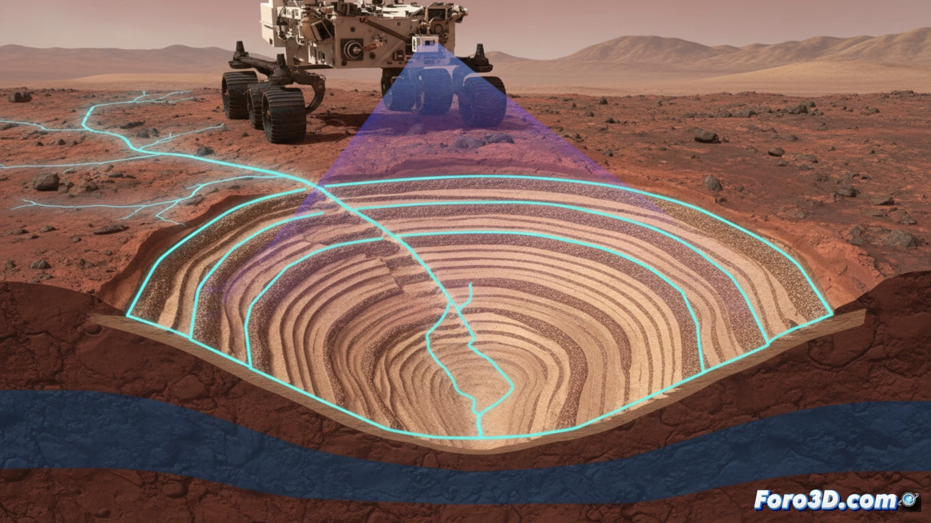
The key instrument is the RIMFAX ground-penetrating radar, which emits radio waves capable of penetrating up to 35 meters into the terrain. As the rover advanced, it collected radar profiles that, once processed and fused, generated a 3D model of the subsurface. This three-dimensional visualization allows geologists to clearly identify sedimentary layers, water-deposited boulders, and the internal structure of the delta. Without these 3D processing and rendering techniques, the raw radar data would be a cryptic sequence of reflections, impossible to interpret in its stratigraphic complexity.
Beyond Maps: the Visual Narrative of Martian History 👁️
The true power of this scientific visualization lies in its ability to tell a story. 3D models are not just static images; they are dynamic reconstructions that show how the environment evolved. By visualizing the different layers, we can distinguish between the recent surface delta and the massive ancient buried fluvial system. This visual narrative is essential both for research, by guiding sample collection, and for outreach, transforming complex data into an intuitive understanding of Mars' wet past.
How are subsurface radar data processed and visualized in 3D to reconstruct ancient geological structures, such as the Martian delta discovered by Perseverance?
(P.S.: if your manta ray animation doesn't excite, you can always add TV2 documentary music)