Ibero-American environment ministers have forged a common agenda for the Madrid Summit, prioritizing climate action, biodiversity, and the fight against pollution. This negotiating bloc seeks a just ecological transition, combining environmental protection and development. In the niche of geopolitics and supply chains, this represents a strategic alliance with potential to reconfigure flows of critical materials. 3D visualization emerges as a key tool to decipher the real impact of this regional consensus on the global board.
Interactive 3D Model: Flows, Simulations, and Power Cartography 🗺️
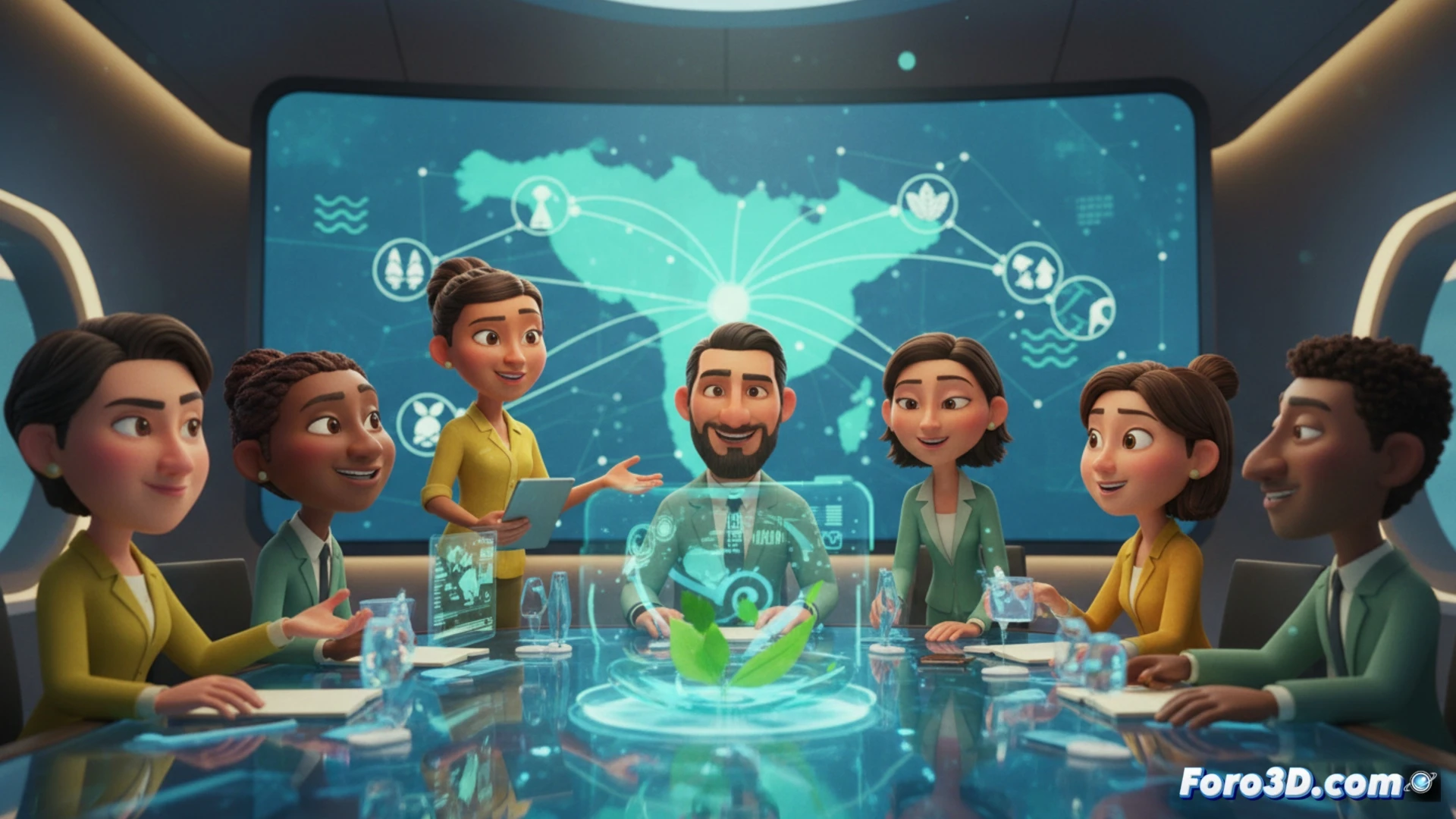
A dedicated 3D model can transform this abstract agreement into a dynamic visualization. First, it would represent resource flows, technical knowledge, and harmonized policies among member countries, showing cooperation nodes and dependencies. Second, it would allow simulating the impact of the common agenda on critical minerals supply chains for green energies, projecting changes in logistics routes and strategic hubs. Third, through an interactive geopolitical map, the negotiating strength of the Ibero-American bloc could be mapped against the EU, USA, or China, visualizing alliances, pressures, and collective weight in the Madrid negotiations.
Beyond the Map: Simulation as a Strategic Tool ⚙️
The true power of 3D modeling is not just to illustrate, but to simulate scenarios. How are flows redistributed if a key country changes its policy? What vulnerabilities does the new green supply chain expose? These tools allow analysts and decision-makers to test strategies, anticipate risks, and optimize cooperation. Visualizing the Ibero-American alliance in 3D is the first step to strengthening it, transforming a political agreement into a resilient and quantifiable cooperation architecture for the global transition.
How can geopolitical 3D modeling optimize the logistics of a regional critical minerals supply chain for the energy transition, proposed in the Ibero-American climate agenda?
(PS: geopolitics in 3D looks so good that it makes you want to invade countries just to see it rendered)