The debate on housing, especially tourist rentals, is intense and polarized. Citizens receive conflicting political messages, making it difficult to form an objective opinion on the real impact of the policies implemented. In this context, 3D technology and data visualization emerge as powerful tools to clear the fog. It is not about replacing the debate, but enriching it with transparency, allowing citizens to analyze the consequences of legislative decisions in a tangible and understandable way.
3D and Simulation Tools for Urban Analysis 🏙️
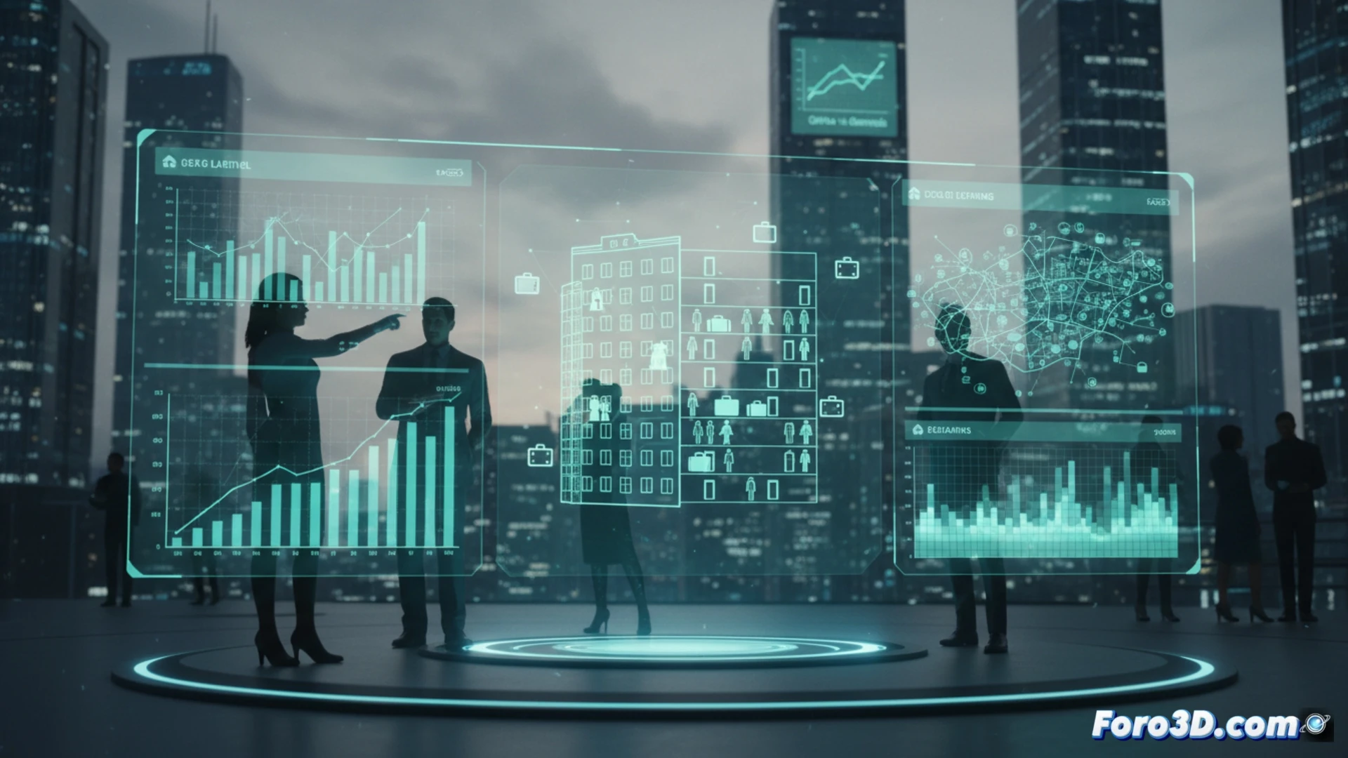
Imagine interactive platforms where, instead of reading abstract figures, we could navigate a georeferenced 3D model of a city. Buildings could change color according to their use: permanent housing, vacation rental, or empty housing. With a temporal slider, we would see the evolution of the last ten years. Heat maps of rental prices could be overlaid and the effect of specific policies simulated, such as limiting tourist licenses in an area. A 3D model could show how certain areas empty of residents all year round, allowing a clear spatial analysis of the problem. These tools, developable with GIS software and rendering engines, transform complex data into accessible visual narratives.
Towards Data-Based Citizen Participation 📊
The ultimate goal is not to create spectacular visualizations, but to foster more grounded democratic participation. When citizens can see the impact of a regulation before and after its implementation, the political debate takes a qualitative leap. The demand on parties is no longer based solely on slogans, but on visual evidence of the results of their management. 3D technology offers us the opportunity to build a public sphere where discussion on common goods, such as housing, is based on a shared and verifiable understanding of reality.
How can interactive 3D models and geospatial data transform the public debate on housing, moving from polarization to collective and evidence-based decision-making?
(PS: 3D electoral panels are like promises: they look very nice but they have to be seen in action)