Municipal elections in France are a highly valuable political thermometer, marked by uncertainty in major cities and a test for national forces. At Foro3D, we propose going beyond traditional analysis. How can we better understand this fragmentation and its possible alliances? The answer lies in advanced data visualization. Interactive 3D tools can transform these complex results into dynamic maps and comprehensible models, offering a new perspective on local democracy.
Technical proposal: an interactive 3D map of results and alliances 🗺️
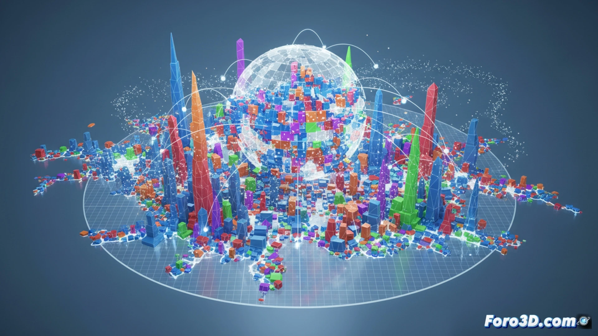
Imagine a three-dimensional model of French territory, where each municipality is a volume whose height represents turnout and the color the winning political bloc in the first round. Municipalities going to the second round could blink, indicating uncertainty. Selecting a major city like Paris would deploy a 3D network graph showing possible post-electoral alliance scenarios, with nodes for each party and edges whose thickness indicates the probability of a pact. This visualization would allow simulating results and understanding the fragility of majorities, using engines like Unity or WebGL for web publication.
Beyond the vote: turnout as a landscape to explore ⛰️
The traditionally low turnout in these elections is a crucial datum. A 3D model can turn abstention into a tangible landscape, where deep valleys represent areas of greater disaffection. Comparing this model with that of past elections would show the evolution of civic engagement. These tools not only explain results but invite reflection on democratic health, making the abstract visible and fostering more informed and critical participation.
How could 3D modeling and interactive data visualization help citizens understand the complex fragmentation of the vote in French municipal elections and its impact on local governance?
(P.S.: visualizing a political debate in 3D is easy, the hard part is making it not look like a WWE match)