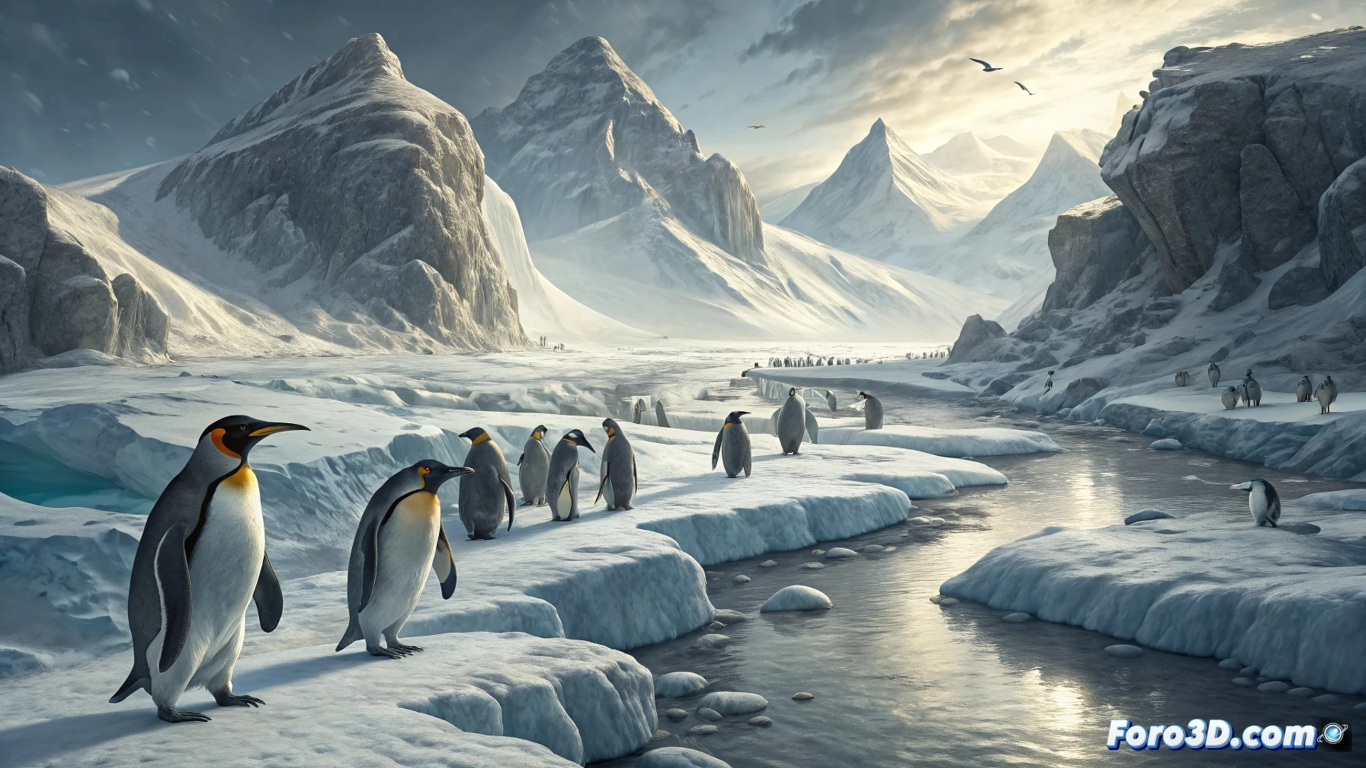
The news about the king penguins on Possession Island is a clear example of environmental conflict, a perfect parallel for our analysis. The battle for the survival of this colony, with its polar front shifting like a battle line, its feeding logistics and its vulnerability to sudden strategic changes, can be modeled and deeply understood with the same 3D tools we use to study wars. Visualizing this ecosystem in crisis trains our ability to analyze complex scenarios.
4D Modeling of the Territory: Dynamics and Critical Points 🗺️
The application of 3D and 4D geospatial analysis technologies, including the time variable, is crucial here. We could reconstruct bathymetry and ocean currents to visualize the historical shift of the polar front, the key feeding zone. Particle simulations would show the concentration and movement of lanternfish, the disputed resource. Modeling the penguins' swimming routes under different thermal conditions would allow calculating the energy cost, just as is done with supply lines. We would identify points of no return, such as the critical distance that would doom the chicks.
Strategic Awareness: Beyond the Battlefield 🧠
This exercise is not a mere parallel. It demonstrates how 3D conflict analysis, whether military or ecological, serves to transform complex data into impactful visual narratives. The dynamic cartographic representation of this silent crisis has an immense educational power, generating awareness about systemic threats. Understanding the fragility of an ecosystem by modeling its front lines and its logistics is a powerful tool for anticipating and communicating the risks of any conflict, including the global climate crisis.
Do you think digital twins can help in post-conflict reconstruction?