Yuri Gagarin's feat as the first human in space is a pillar of history. However, this achievement rests on an arbitrary definition: the Kármán line, at 100 km altitude. This boundary, useful for aviation and space law, has no absolute physical foundation. If we apply a strict scientific criterion, such as the end of Earth's atmosphere, space begins hundreds of thousands of kilometers away, a distance unreachable by humans. The debate reveals that the conquest of space is also a matter of perspective. 🚀
Visualizing the Scale: From Suborbital Flight to Interplanetary Vacuum 🌌
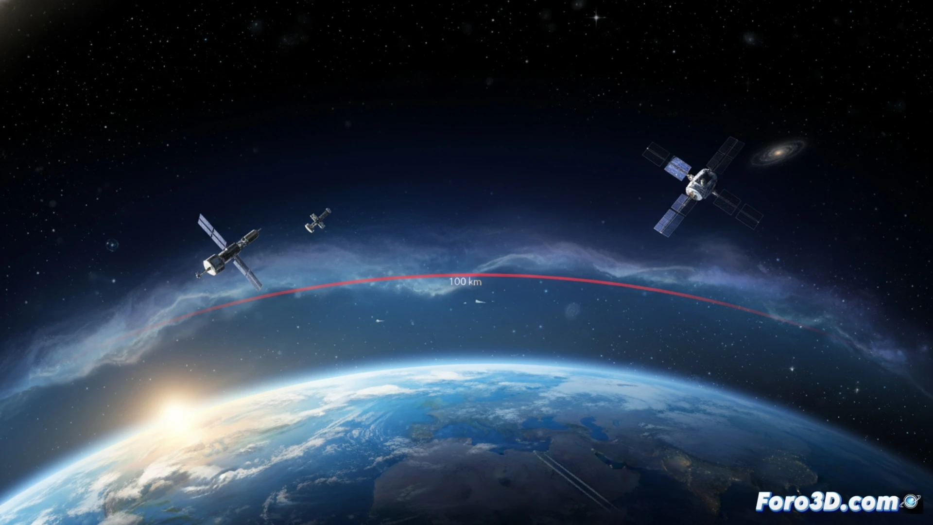
To understand the magnitude of the debate, we propose an interactive 3D model that represents the atmospheric layers at real scale. The visualization would contrast the thin line of the troposphere, the location of the Space Station and Gagarin's orbit (about 300 km) with the immensity of the exosphere, which extends up to 10,000 km. The model would integrate the Kármán line as a reference plane and show, at hundreds of thousands of kilometers, the theoretical limit where the Sun's gravitational influence surpasses that of Earth, the true end of our atmosphere. This tool transforms abstract data into a tangible spatial experience.
Beyond Physics: The Human Perspective of Space 👨🚀
The technical discussion should not overshadow the human achievement. Gagarin experienced weightlessness, saw the curvature of the planet, and crossed the threshold that our technology defined as space. A complete scientific visualization not only shows scales but also milestones. It must contextualize his flight within technological evolution, inviting reflection on how our definitions shape history. The final question may not be where space begins, but when we began to inhabit it.
How can we use scientific visualization techniques to represent and analyze the different layers of the atmosphere and visually define the theoretical limit of outer space?
(P.S.: fluid physics to simulate the ocean is like the sea: unpredictable and you always run out of RAM)