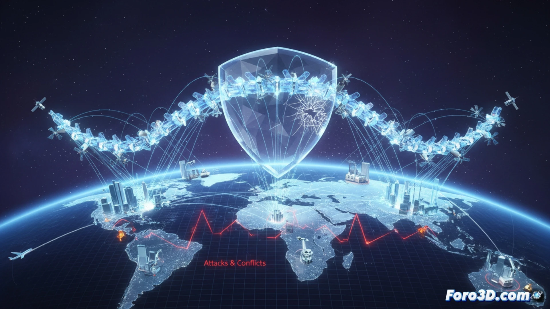
In the hyperconnected global economy, the most critical supply chain is invisible: the constant flow of positioning and timing data from GNSS satellites. Systems like GPS, GLONASS, Galileo, and BeiDou are the essential infrastructure that synchronizes power grids, guides maritime and air transport, and optimizes logistics. Their disruption, whether by interference, cyberattacks, or geopolitical conflicts, would paralyze vital systems, revealing a strategic and dangerous dependency that states seek to control.
Architecture of a global dependency: constellations, coverage, and blind spots 🛰️
Visualizing GNSS in 3D reveals a complex orbital architecture and its geopolitical overlap. Each constellation, deployed by a power (U.S., Russia, EU, China), creates a global coverage network with redundancy zones and others with greater dependence on a single system. This duplication offers resilience but also exposes the data supply chain to specific vulnerabilities. The signal, extremely weak upon reaching Earth, is susceptible to localized jamming or spoofing, which can divert ships or alter network schedules. A coordinated attack on ground control segments or the satellite-receiver link could create catastrophic blind spots in entire regions, disrupting container flows and air traffic.
Beyond backup: strategic autonomy as the only mitigation ⚖️
The solution is not just technical, but geopolitical. Having multi-constellation receivers mitigates minor risks, but does not resolve dependence on infrastructure controlled by strategic rivals. The original development of each system for military reasons demonstrates that global positioning dominance is a sovereignty asset. True resilience requires investment in alternative terrestrial systems (eLORAN) and a reevaluation of critical dependence in strategic sectors, treating GNSS as the vulnerable link it is in the national security supply chain.
Do you think 3D visualization can help in strategic decision-making?