Three shark attacks in less than 24 hours on Sydney's beaches, including a critical one on a child, have shocked Australia. These events, concentrated in Shark Beach and other coastal points, expose an urgency in risk management. Beyond immediate measures, 3D technology emerges as a key tool to analyze, simulate, and prevent future incidents, transforming tragic data into proactive safety strategies.
3D Reconstruction and Simulation of Risk Patterns 🦈
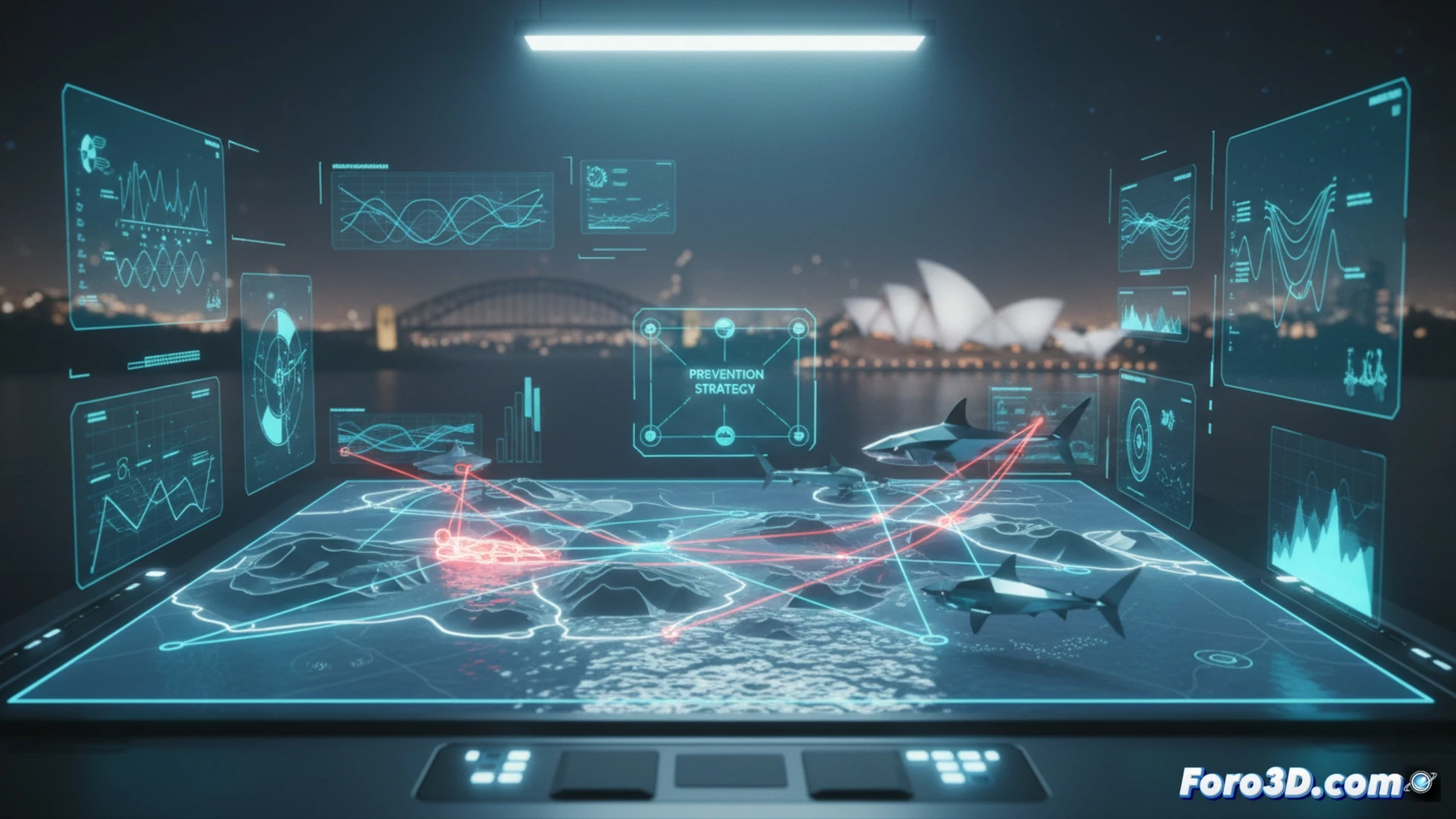
The faithful reconstruction of these events through 3D modeling of the coastline and geographic information systems (GIS) enables unprecedented analysis. Data layers such as bathymetry, water temperatures, currents, and historical sightings can be integrated to create a digital twin of the area. On this model, it is possible to simulate bull shark behavior, identifying movement patterns and correlating them with specific environmental conditions. This helps model dynamic risk zones, not static ones, visualizing critical routes and encounter probabilities based on changing variables, optimizing the placement of nets and surveillance.
From Response to Predictive Prevention 🛡️
The ultimate goal goes beyond understanding the past. These 3D models allow running future scenario simulations under different conditions, testing the effectiveness of early warning protocols and beach closures. The clear visualization of complex data facilitates communication with authorities and bathers, fostering a culture of informed safety. Thus, tragedy drives a technological leap toward predictive coastal management, where 3D simulation becomes the best ally for prevention.
Would you export the results to GIS format?