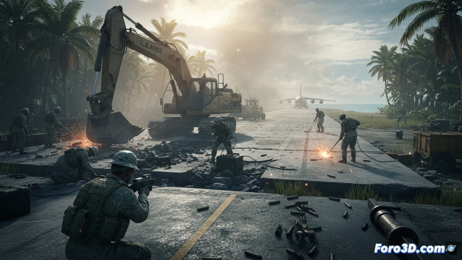
The United States is rehabilitating World War II runways on Tinian and Peleliu, a strategic response to Chinese expansion. This move revives key infrastructures that, decades later, regain their geopolitical value. For 3D specialists, this scenario is a perfect laboratory. The digital reconstruction of these bases allows not only documenting military heritage, but also analyzing their current tactical potential, transforming historical data into strategic simulation tools.
Photogrammetry and Digital Twins: From Ruins to Contingency Plan 🛠️
Physical restoration has a crucial digital parallel. Through drone photogrammetry, we can capture the current state of the runways and their surroundings, creating precise 3D models. These assets form the basis for digital twins of the bases. In them, we can overlay historical plans, simulate the deployment of different aircraft, and analyze logistical flows. 3D technology allows virtually testing the resilience of these alternative facilities against modern threats, such as missile attacks, and calculating response times, adding a layer of deep analysis to military planning.
Visualizing the Conflict: 3D as a Geopolitical Tool 🗺️
Beyond engineering, 3D modeling becomes a powerful narrative and analytical tool. Visualizing the evolution of these islands, from their role in 1944 to their current reconfiguration, clarifies the U.S. force dispersion strategy. It enables simulating crisis scenarios and communicating, intuitively, complex concepts of deterrence and power projection. Thus, 3D work transcends the technical to offer a visual and dynamic understanding of the new race for influence in the Pacific.
What software do you recommend for simulating the impact of projectiles on infrastructures?