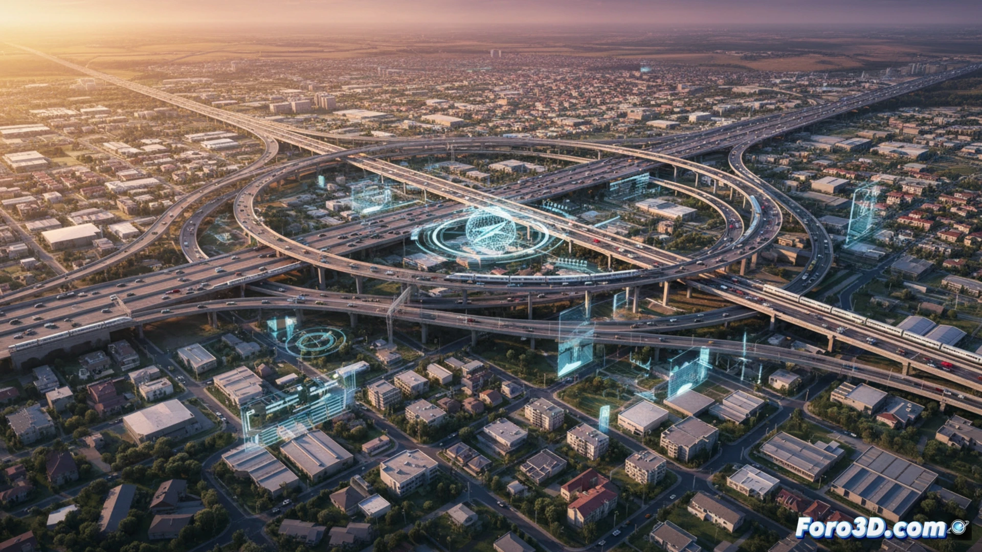
The traditional model of radial mobility toward the urban center is obsolete. The relocation of companies to large campuses on the periphery, such as Las Tablas or 22@, has created a new pattern of transverse displacements between suburbs. Existing infrastructures are overwhelmed, generating congestion and lengthening trips. This territorial planning problem is an ideal field of action for geomatics and 3D topography technologies, capable of diagnosing and modeling solutions.
Diagnosis and simulation with 3D tools 🗺️
3D geomatics enables a comprehensive analysis of the territory. Using LiDAR point clouds and orthophotos, we can accurately model the new geography of business parks and their surroundings. On this model, current and future mobility flows can be simulated, bottlenecks in the road network can be identified, and accessibility from different residential areas can be evaluated. 3D GIS tools facilitate visibility analysis and optimal routes to propose new public transport or road connections, optimizing investments.
Toward predictive urban planning 🔮
The key is to move to a predictive model. Geomatics data allows anticipating the impact of new developments before building them, avoiding mobility problems and pressure on housing. By integrating socioeconomic data into the 3D model, a more balanced territory can be planned, where housing and employment are better connected. Geomatics ceases to be a measurement tool to become the core of smarter and more sustainable urban planning.
How can 3D geomatics and mobile laser scanning optimize infrastructure and transport planning in the new peripheral mobility, dominated by large dispersed business campuses?
(PS: 3D topography is like making a treasure map, but the treasure is a precise model.)