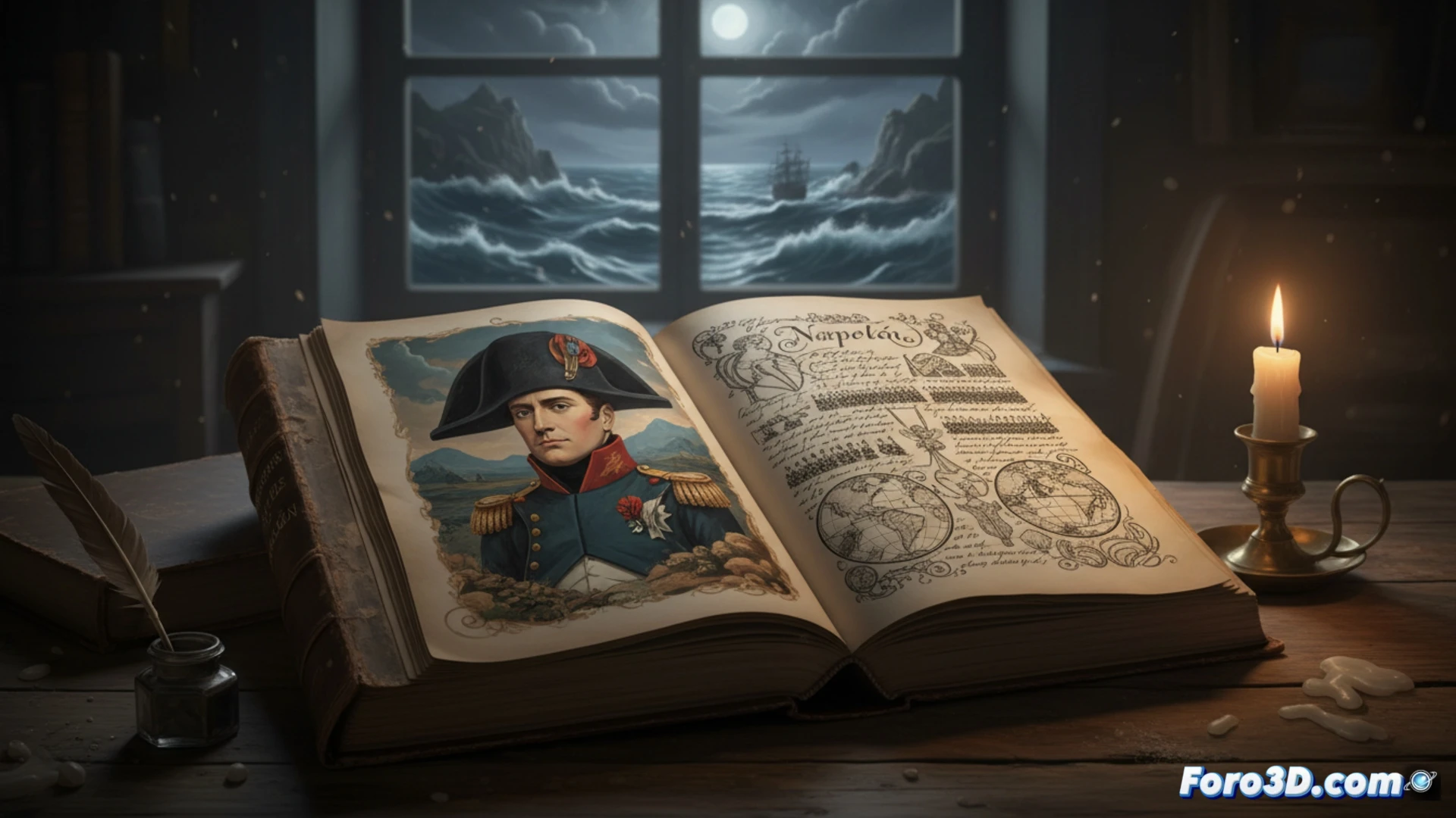
The memoirs dictated by Napoleon Bonaparte during his exile are a textual monument to his strategic and political vision. Traditionally, the analysis of these writings has been limited to linear reading and historical interpretation. However, 3D technologies and data visualization offer a methodological revolution. They allow transforming these 19th-century narratives into interactive and spatial models, taking the study of leadership and political communication to an immersive and analytically powerful dimension.
3D Tools for Historical and Political Analysis 🗺️
The practical application is vast. GIS software and 3D engines can convert campaign descriptions into dynamic maps, showing troop movements, terrain conditions, and key decisions in real time. Networks of influence and political alliances can be modeled as three-dimensional nodal graphs, revealing hidden connections in the text. Additionally, it is possible to reconstruct in 3D the physical environment of the exile, such as Longwood House in Saint Helena, to contextualize emotionally and environmentally the moment of writing. This approach not only illustrates but allows performing spatial and quantitative queries on the historical narrative.
Beyond Illustration: 3D as a Critical Tool 🔍
This visualization goes beyond the decorative. By spatializing his memoirs, we can analyze discrepancies between his account and cartographic facts, study the rhetorical construction of his legacy, and make his strategic perspective tangible. 3D technology thus becomes a critical lens, transforming a static text into a laboratory to explore political communication, historical memory, and the nature of power narratives. The past becomes a navigable and questionable space.
How can 3D modeling and interactive infographics transform the analysis of Napoleon's memoirs, revealing strategic patterns and political narratives invisible in plain text?
(P.S.: at Foro3D we know that the only absolute truth is that the render always takes longer than expected)