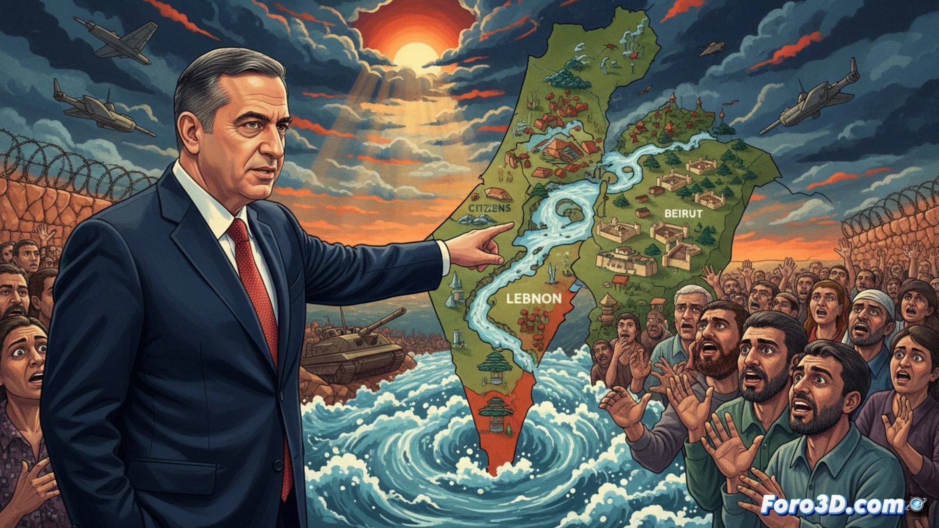
The minister Smotrich's statement about establishing the Litani River as a security border is not just a political stance, it is a geostrategic shift with profound tactical implications. At Foro3D, we propose going beyond the flat map to analyze how three-dimensional modeling technology and Geographic Information Systems (GIS) can break down this scenario. Visualizing the terrain in 3D is key to understanding the defensive advantages, the logistical challenges, and the real impact on the terrain and population.
Terrain modeling and strategic simulation of the Litani Valley 🗺️
A geo-referenced 3D model of the area reveals critical data. It's not just a blue line on a map, but a geographical feature with slopes, elevations, and control points. By digitally recreating the Litani basin, we can simulate fields of vision and fire from possible positions, calculate troop movement times, and analyze coverage for Israeli settlements. Simulation tools allow testing scenarios, such as the effectiveness of natural barriers against artillery or drones, and measuring exact distances to key cities, transforming a statement into quantifiable technical variables.
Beyond tactics: The human dimension in 3D 👁️
3D technology also serves to project humanitarian consequences. By overlaying population data on the terrain model, the impact of a possible demarcation on communities, agricultural lands, and water flows can be visualized. This advanced spatial analysis turns political abstractions into concrete visual realities, fostering an informed debate on the real cost of security borders. Technical precision does not justify actions, but illuminates their implications.
How can 3D terrain modeling and GIS analysis quantify the military advantages and strategic risks of establishing the Litani River as a permanent security border?
(P.S.: 3D conflict simulation will never replace peace, but it helps understand the magnitude)