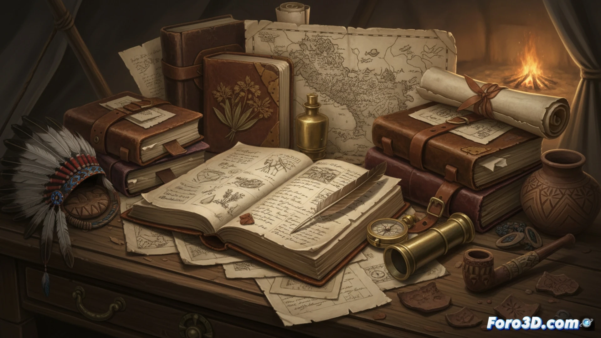
Lewis and Clark's journals are a historical treasure that documents landscapes, cultures, and species at the dawn of the 19th century. Today, digital archaeology allows transcending paper, transforming those textual descriptions and sketches into interactive three-dimensional models. This fusion of history and technology not only preserves the legacy of the expedition but offers a new dimension for its analysis and dissemination, making the route to the Pacific tangible.
3D Techniques to Revive a Historical Route 🗺️
The process begins with the precise georeferencing of the annotations in the journals using Geographic Information Systems. Over this framework, techniques like aerial LiDAR reveal the microtopography of the terrain, even under dense vegetation, identifying possible campsites or changes in the landscape. Photogrammetry applied to related artifacts or to the natural scenarios described themselves generates photorealistic models. These elements are integrated into virtual environments, allowing digital traversal of the journey, visualization of a reconstructed campsite, or 3D examination of a botanical species documented for the first time.
Beyond Preservation: A New Paradigm of Study 🔍
This 3D digital archive is not a mere backup; it is a powerful research tool. It allows testing archaeological hypotheses about the exact location of events, analyzing visibility patterns from historical campsites, or understanding the logistical challenges of the terrain. It democratizes access to this heritage, bringing the expedition to classrooms and the general public in an immersive way, ensuring that Lewis and Clark's journey continues to inspire and teach in the digital era.
How can digital archaeology and the 3D recreation of the landscapes described by Lewis and Clark transform our understanding of their expedition and the preindustrial environment of North America?
(P.S.: and remember: if you can't find a bone, you can always model it yourself)