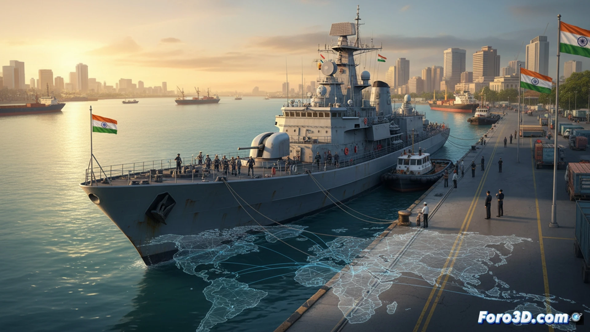
The docking of the Iranian warship IRIS Lavan at the Indian port of Kochi, authorized for humanitarian reasons due to technical difficulties, is an event loaded with strategic significance. It occurs in an immediate context of tension, following the attack on another Iranian vessel in the same region. This incident allows visualizing in 3D the complex dynamics of the Indian Ocean, a vital corridor for global trade, where maritime security and logistical decisions of a country like India have direct repercussions on the worldwide supply chain.
3D Visualization: critical routes and logistical nodes under tension 🗺️
An interactive 3D model of this event would reveal layers of crucial information. First, the route of the IRIS Lavan and the area of the attack on the IRIS Dena, highlighting hotspots of instability. Second, the position of the Kochi port as a logistical and security node on India's southwest coast, a key facilitator. By overlaying the main maritime transport arteries for containers and oil, it simulates how a localized incident can alter routes, increase freight and insurance costs, and force massive diversions, demonstrating the fragility of supply chains in volatile geopolitical environments.
India as a node of stability in a sea of uncertainty ⚓
The Indian decision, emphasizing the humanitarian aspect for the cadets, projects a stance of operational neutrality and logistical reliability. In a 3D map of influences, India consolidates itself as a pivotal actor capable of managing relationships with multiple conflicting parties, ensuring certain operational continuity in critical corridors. This case underscores that, beyond diplomacy, the resilience of the global supply chain will increasingly depend on the ability of these strategic nodes to keep ports open and operational amid regional crises.
What visual metrics would you use to show geopolitical dependence on chips?