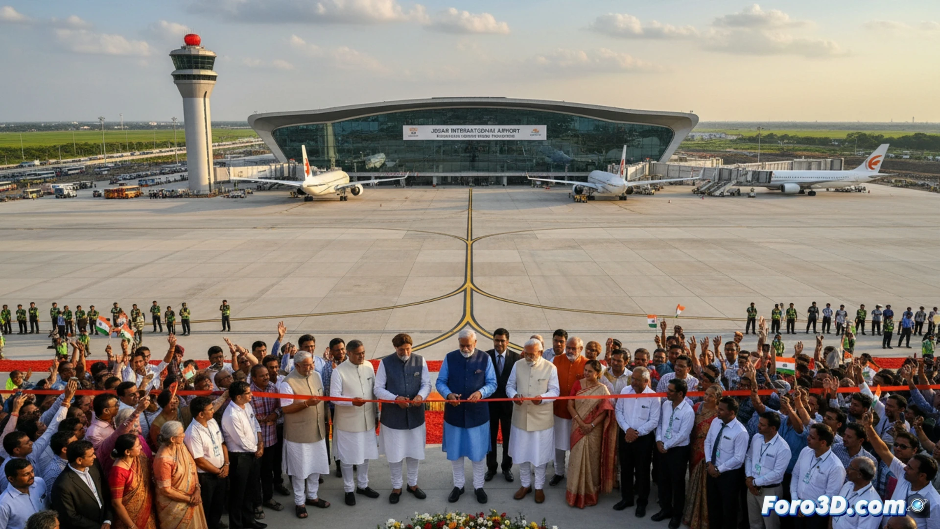
The inauguration of the new Jewar international airport, with an investment of 1200 million dollars, is not an isolated event. It is the most visible piece of a strategic plan to deploy 100 new airports. This massive infrastructure development, analyzed through 3D models of logistical nodes and air flows, reveals a profound reconfiguration of India's internal and global connectivity, aiming to decongest key corridors and create new supply hubs for the economy.
3D Modeling of Logistical Impact and Simulation of Strategic Dependencies 🗺️
Visualizing this plan in 3D allows simulating its geoeconomic impact. A model of the Jewar node, integrated into the existing network, shows how it redistributes cargo and passenger traffic from the saturated Delhi airport. By simulating regional supply routes, new fast trade corridors are anticipated. Parallely, the approval of defense acquisitions worth 25000 million, centered on Russian S-400 systems, can be represented as a map of technological and political dependencies. This dual visualization contrasts the pursuit of logistical autonomy with the persistence of defense ties with Moscow, a risk factor in the national security supply chain.
Logistical Autonomy versus Geopolitical Dependence: A Balance in Rendering ⚖️
The final rendering shows an India building its own infrastructure network to gain resilience and control over its physical supply chains. However, the same model must include layers that evidence strong strategic interdependencies in the defense realm. This duality defines its geopolitical position: promoting autonomy in commercial connectivity while carefully managing critical dependencies in security materials, a complex balance whose analysis is enriched by the spatial perspective offered by 3D visualization.
How is India using 3D printing in logistical infrastructure and defense to reduce its strategic dependencies in the global supply chain?
(PS: visualizing the global supply chain is like following a trail of breadcrumbs... in 3D)