Hashima Island, a fortified concrete outcrop off Nagasaki, encapsulates Japan's industrial history and its abrupt collapse. Abandoned since 1974, its ruined skyscrapers, the country's first concrete ones, erode slowly. This is where digital archaeology unleashes its potential: through 3D documentation techniques, we can capture this fragile heritage before its physical disappearance, freezing its current state and enabling virtual exploration that transcends its inaccessibility and deterioration.
Capturing Decay: 3D Techniques for Documentation 🛰️
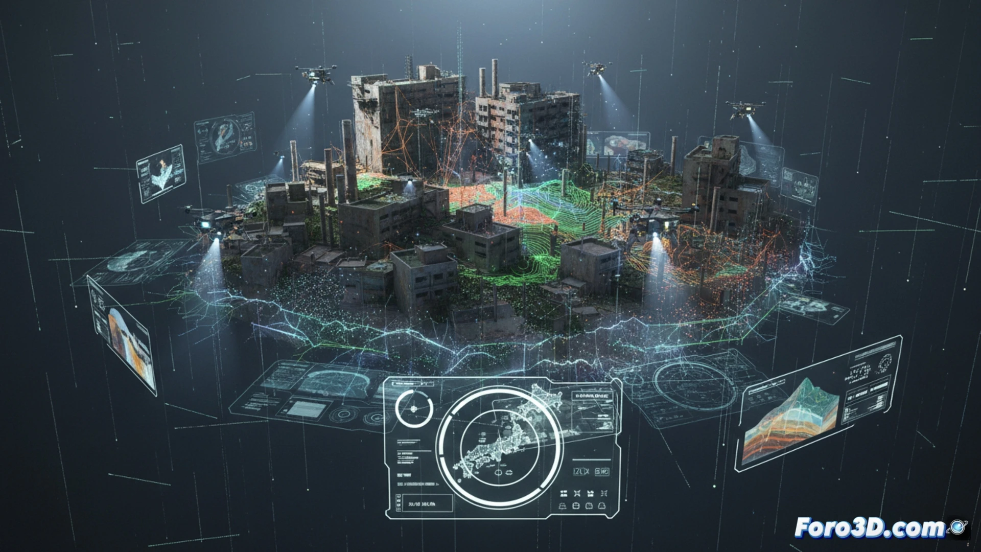
Documenting Hashima requires non-invasive and long-range methods. Drone photogrammetry generates textured 3D meshes from thousands of photographs, ideal for facades and external structures. To penetrate the dense vegetation and capture dangerous interior spaces, terrestrial and aerial LiDAR scanning emits laser pulses that create precise point clouds even in the dark. The fusion of both data allows building a comprehensive digital model. This digital twin serves for structural analysis, crack and erosion monitoring, and as a base for accurate historical reconstructions of its mining heyday.
More than a Model: Memory, Ethics, and Outreach 🧠
The 3D model transcends mere architectural preservation. It becomes an instrument for historical memory, allowing visualization of extreme human density and living conditions. By digitally reconstructing the island, the legacy of forced labor used during the war is also documented, implicitly but tangibly. These interactive virtual environments offer a powerful tool for ethical outreach, allowing present and future generations to explore and understand this complex symbol of industrial progress and human suffering.
Would you export to Sketchfab or a custom viewer?