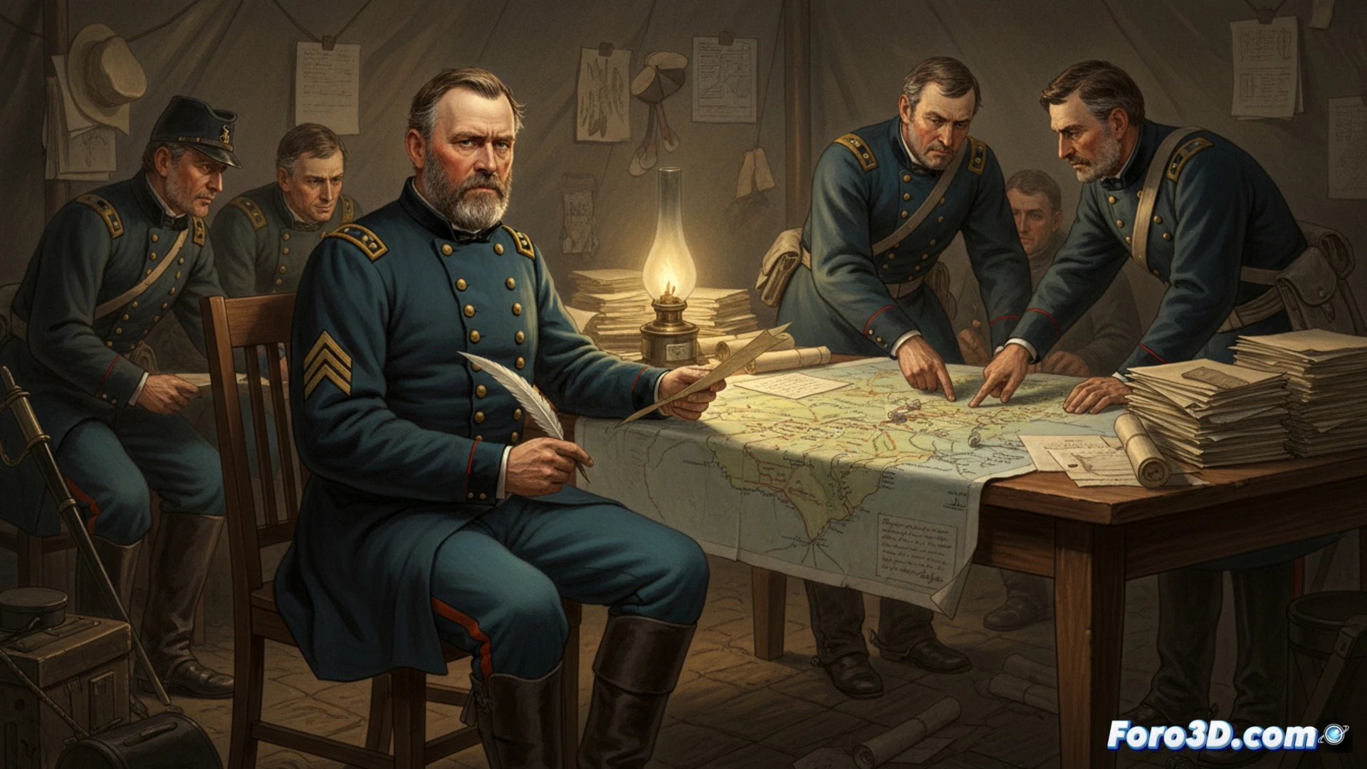
General Ulysses S. Grant's correspondence during the American Civil War is a treasure trove of strategic decisions. Beyond textual historical analysis, these letters offer precise coordinates for digital recreation. In our niche, we propose using these primary sources as a base for modeling in 3D his tactical movements, transforming written orders into interactive visual simulations that reveal the depth of his military genius.
From text to mesh: pipeline to reconstruct historical war scenarios 🗺️
The process begins with the extraction of geospatial and descriptive data from the letters: regiment locations, terrain descriptions, distances, and chronologies. Using software like Blender or Unreal Engine, the historical terrain is modeled with period maps as reference. Troop movements described by Grant are animated through particle systems or group rigging, allowing visualization of the advance on Vicksburg or the pressure on Petersburg. The key is to cross-reference the correspondence with field reports to correct discrepancies and achieve a faithful tactical simulation, not just a static scene.
3D immersion as a strategic analysis tool ⚔️
This reconstruction goes beyond illustration. Visualizing in real time the dispersion of forces or the logistical bottlenecks that Grant described in his letters offers an intuitive understanding of his challenges. 3D technology allows historians and enthusiasts to test variables, questioning whether alternatives would have changed the outcome. Thus, key decisions cease to be abstract and become a dynamic and analyzable system.
What photogrammetry techniques would you use to model conflict zones remotely?