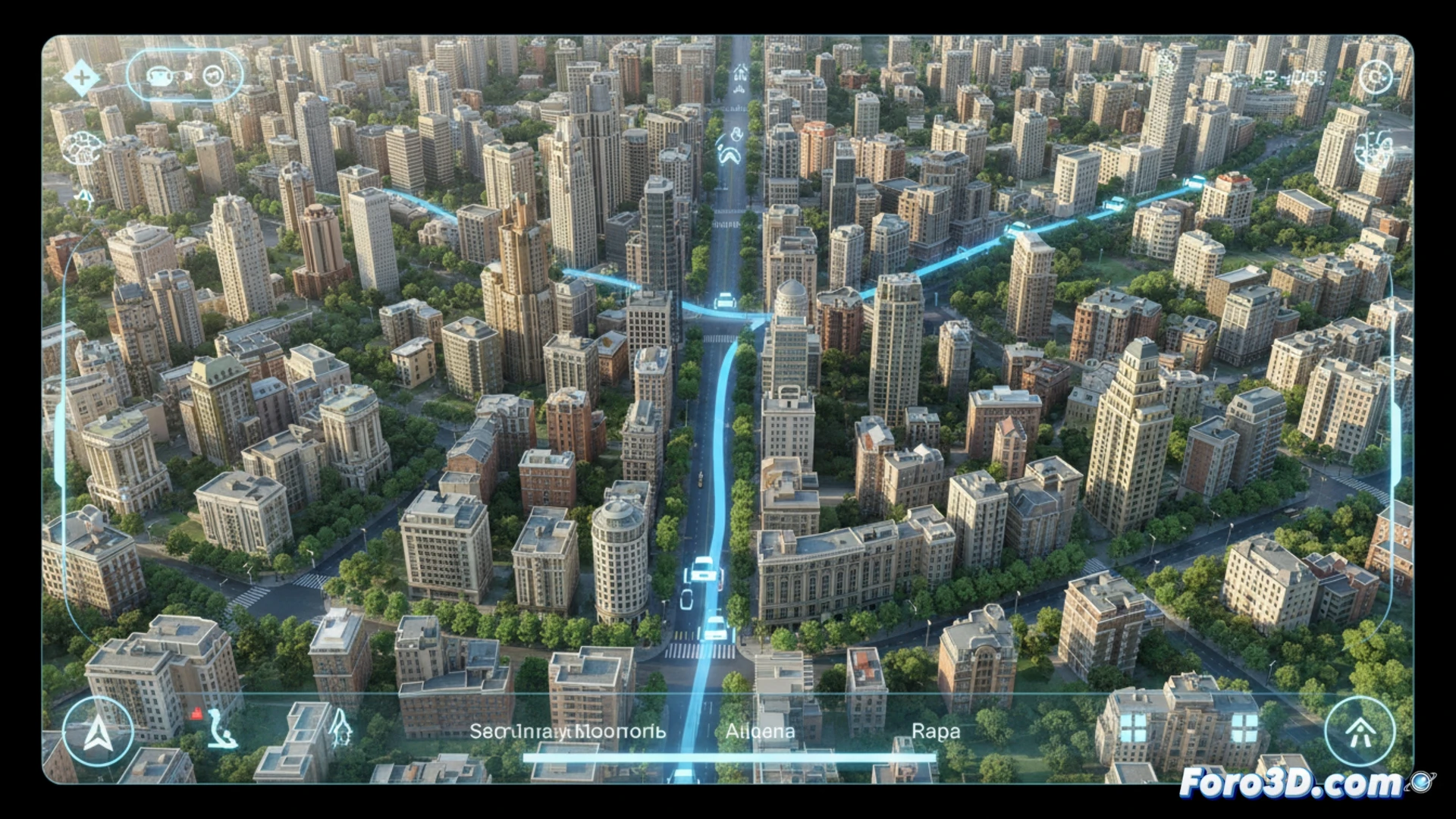
Google Maps has integrated a new 3D visualization mode that aims to change how we orient ourselves in urban environments. This feature generates detailed three-dimensional representations of the city, using modeled buildings, trees, and streets to offer a clearer spatial context. The goal is to facilitate the identification of visual landmarks, complementing traditional step-by-step navigation, especially in areas with dense and complex construction.
The technology behind urban 3D modeling 🛰️
This system does not rely on generic models, but on the processing of aerial and satellite images using computer vision techniques. The technology analyzes the geometry, textures, and shadows of structures to automatically build detailed polygonal meshes. This process, combined with altitude data, allows for the generation of coherent representations of facades, roofs, and urban landscape elements, creating a visual layer overlaid on the base map with notable dimensional precision.
Goodbye to the excuse of it's that the map didn't show the kiosk 🗺️
With this level of detail, our classic justifications for getting lost lose validity. It will no longer work to say that the app didn't reflect that the building was blue or that there was a giant tree blocking the exit. Now, if you pass a street, the responsibility will be entirely yours. The map will show you even the potted plant on the neighbor's terrace. The era of orientation by instinct or blaming an unclear icon is coming to an end. Prepare for your navigation errors to be in high definition.