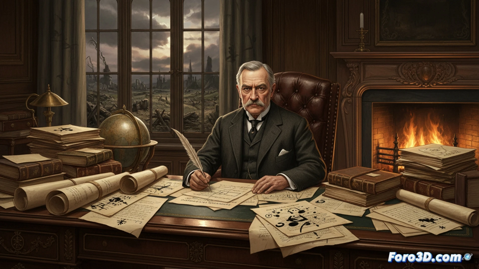
The recent emergence of preliminary documents from the Treaty of Versailles, with Clemenceau's annotations, offers a unique window into the tense negotiations of 1919. These drafts, full of strikethroughs and corrections, are the perfect raw material for a 3D historical analysis. In our niche, we don't just read history; we visually reconstruct it to unravel its deepest layers and understand the process that redrew the world map after the Great War.
Digital Reconstruction: From Ink to Interactive 3D Model 🗺️
Imagine a georeferenced 3D map of Europe where the different territorial proposals contained in these drafts are superimposed. Using geographic information systems (GIS) and 3D modeling, we could visualize layers showing the initial demands of France, the concessions to Wilson, and the evolution toward the final borders. Each modification in the document would translate into a dynamic change in the model, illustrating the pressure on Germany. Additionally, a photorealistic reconstruction of the Hall of Mirrors, populated with avatars of the leaders based on period photographs, would allow simulating negotiation scenarios, making the atmosphere of that crucial conference tangible.
Beyond Visualization: The Didactics of History in 3D 🧠
This approach transcends mere illustration. By interacting with a 3D model that evolves according to the clauses of each draft, one intuitively understands the magnitude of Germany's territorial losses and the birth of new states. Technology becomes a powerful pedagogical tool, transforming static documents into an immersive spatial and temporal narrative. Thus, 3D analysis not only explains the what of the Treaty of Versailles, but illuminates the how and why of its controversial drafting, offering enduring lessons from an innovative perspective.
What photogrammetry techniques would you use to model conflict zones remotely?