The recent massive attack against Ukraine, with impacts on residential buildings and critical infrastructure, underscores the need for advanced tools for immediate response. In this context, 3D technologies emerge as a crucial ally. Digital documentation of the damage using drones and LiDAR scanners allows for the creation of precise models of the debris, facilitating rescue planning and forensic evaluation of structural collapses in record time.
Documentation and forensic analysis with digital twins of the damage 🚨
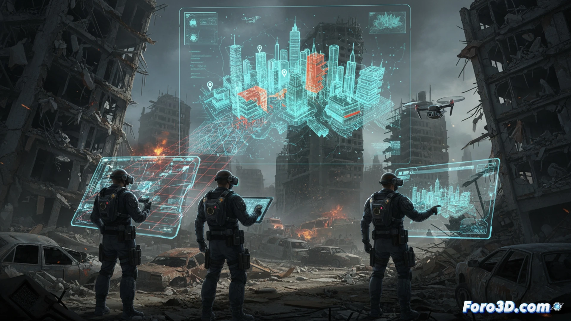
After an impact like that on the building in Kharkiv, the priority is the search for survivors. Specialized teams can use drones to perform aerial photogrammetry, generating a detailed 3D model of the collapse area. This digital twin allows rescue commanders to identify cavities and safe access points without compromising the stability of the debris. Simultaneously, LiDAR scanning of the structure provides exact data to analyze the causes of the collapse, vital information for future more resilient constructions and for accountability processes.
Reconstruction and memory: beyond the emergency 🧱
The application of these technologies goes beyond the emergency phase. 3D models of damaged energy or railway infrastructure serve to accurately quantify the damage and plan their efficient reconstruction. Additionally, these digital files constitute an objective and immutable historical record of the destruction, a crucial technical testimony. Thus, 3D technology not only saves lives in the present but lays the foundation for informed reconstruction and preserves the digital memory of the catastrophe.
What variables would you consider for modeling this disaster?