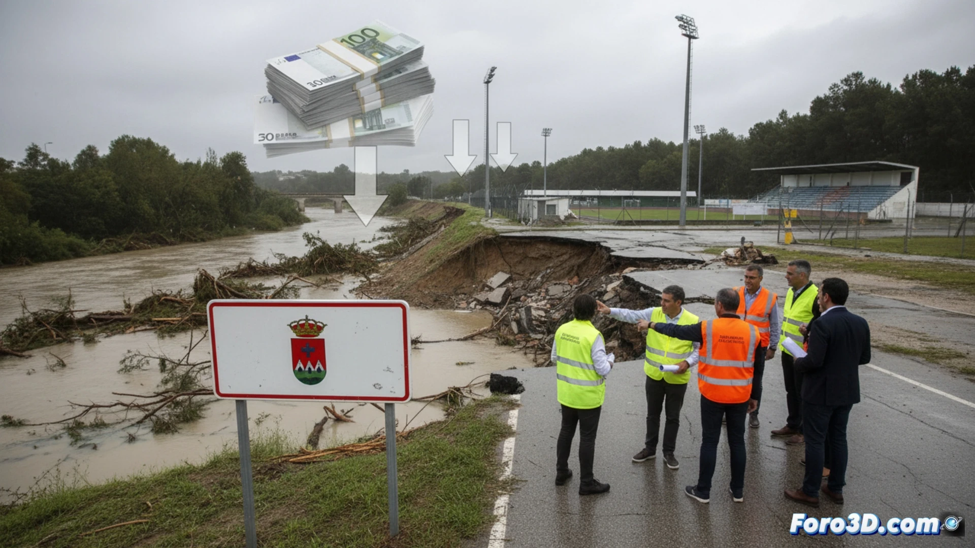
The Jerez City Council has requested nearly 54 million euros to repair the damage from the recent storm train. This situation underscores the need for precise tools to assess and manage catastrophes. This is where 3D technologies prove their value, enabling objective quantification of damages and efficient planning of repairs in critical infrastructure and natural spaces.
3D Tools for Post-Catastrophe Assessment and Planning 🛠️
Drone photogrammetry and LiDAR scanning are essential after an extreme event. These systems generate georeferenced 3D models and high-precision point clouds of damaged roads, public buildings, and supply networks. This data allows for quick and safe measurement of collapse volumes, erosion, or structural damage. Additionally, they serve as the basis for creating digital twins of infrastructures, facilitating the simulation of repairs and the planning of priority interventions, thus speeding up funding requests with irrefutable visual reports.
Beyond Repair: Simulation for Future Resilience 🧠
The true power of these 3D models goes beyond immediate urgency. The captured data allows simulating the behavior of infrastructures under new extreme events, identifying weak points. This prospective analysis capability is key to designing more resilient reconstructions and developing prevention plans, transforming reactive catastrophe management into a proactive citizen protection strategy.
How can 3D scanning and digital modeling technology accurately quantify the damages from a climate catastrophe to expedite funding requests and reconstruction, as in the case of Jerez?
(P.S.: Simulating catastrophes is fun until the computer melts down and you become the catastrophe.)