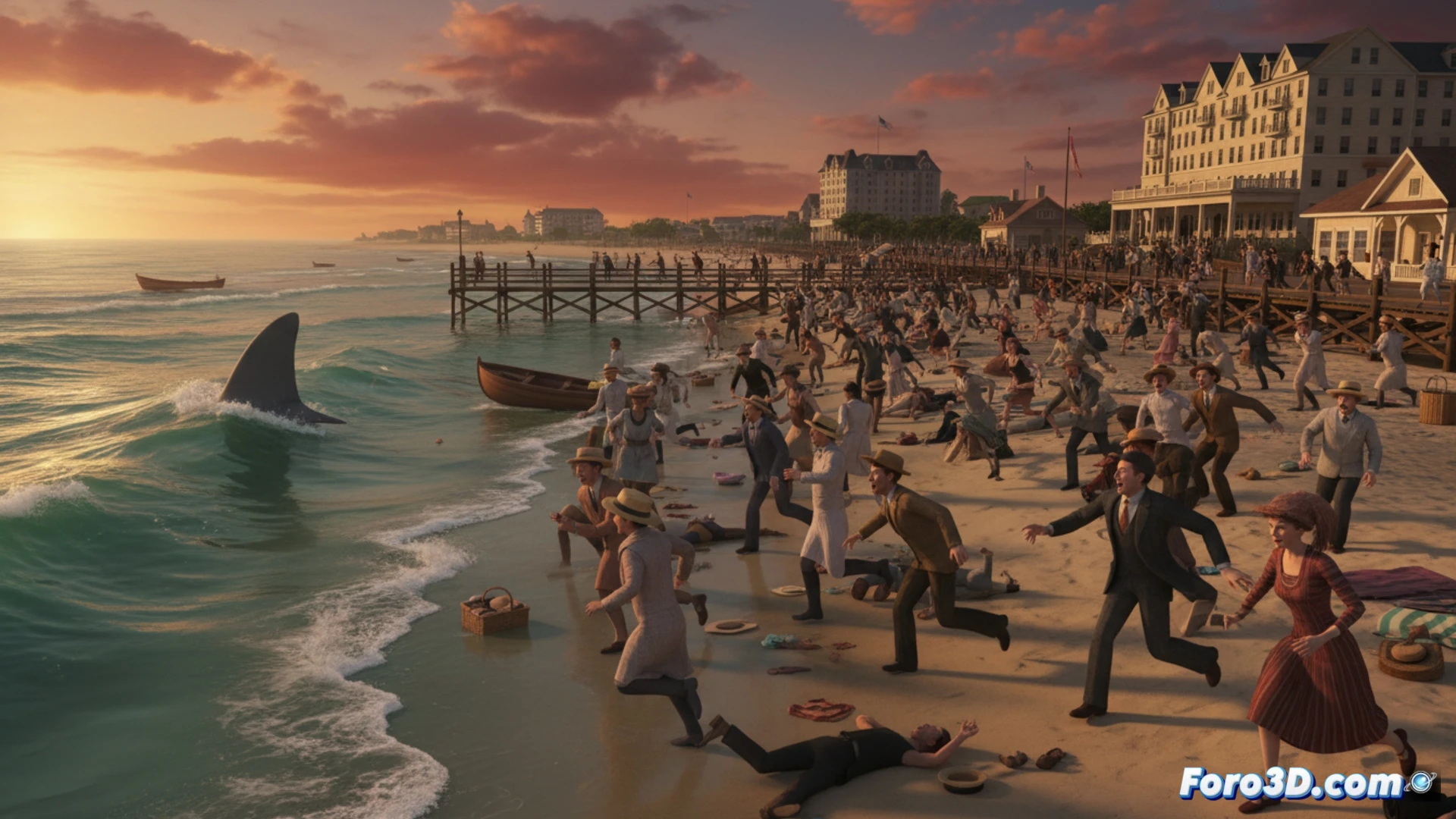
In the summer of 1916, a series of brutal attacks on beaches and an estuary in New Jersey caused several deaths and unleashed massive panic. In the midst of a sweltering heat wave, the fear of an invisible predator paralyzed the coast and led to the closure of bathing areas. This article reconstructs in 3D the scenario of those attacks, analyzing the geography, the sequence of events, and the spread of social terror as a historical case of crisis management. 🦈
Forensic reconstruction methodology of the event 🧩
The simulation is based on bathymetric maps and historical urban plans of the New Jersey coast, georeferencing the exact points of the attacks: Beach Haven, Spring Lake, and crucially, the attack in the Matawan Creek estuary. The 3D model recreates the coastline, depths, and topography of the time. A possible movement pattern of a hypothetical predatory agent between locations is simulated, cross-referencing tide data and distances. This allows visualizing the spatial impact and evaluating the plausibility of the reported sequence, separating legend from geographical evidence.
Lessons from a historical panic modeled in 3D 📊
The 3D visualization transcends the anecdote, revealing how geography channeled fear. The heat wave intensified beach attendance and the viralization of the rumor. The model shows how an event in open waters, then in a coastal town, and finally in an inland river, generated a perception of an omnipresent and unpredictable enemy. This reconstruction serves as a tool to analyze the psychology of panic and the critical importance of clear communication in the face of crises of unknown origin.
Would you export the results to GIS format?