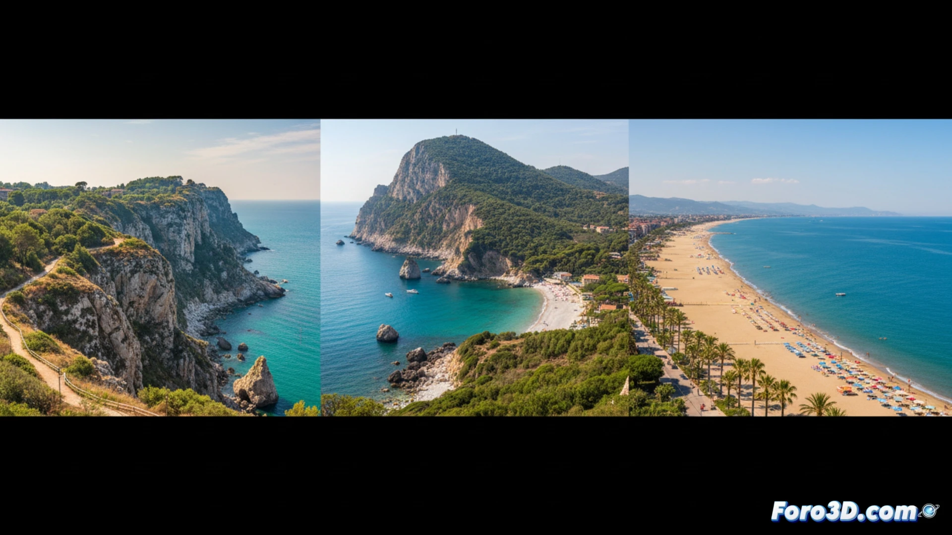
The coast of Le Marche, in Italy, features diverse geography: the cliffs of Monte San Bartolo, the rocky promontory of Conero, and the sands of the Riviera delle Palme. For geomatics, this shoreline is an ideal laboratory. Technologies such as aerial LiDAR, drones with photogrammetry, and terrestrial scanners allow capturing these environments with millimeter precision, generating digital terrain models essential for their analysis and preservation.
Technical applications of coastal 3D models 🗺️
DTMs and high-resolution 3D models of these areas enable concrete technical applications. In the San Bartolo and Conero cliffs, erosion rates and slope stability are analyzed. For the beaches of San Benedetto del Tronto, sedimentation dynamics and storm impacts are simulated. These models are also crucial for sustainable tourism planning, assessing visitor loads and designing infrastructure with minimum environmental impact, integrating topographic and bathymetric data.
Beyond the map: immersive geographic outreach 🥽
The true power of these models goes beyond technical analysis. They enable the creation of immersive outreach experiences. It is possible to generate virtual tours along the Conero trails or visualize the historical coastline. These resources, accessible to researchers and the public, transform raw data into powerful tools for understanding and valuing the complexity and fragility of our coastal natural heritage.
How can drone photogrammetry and terrestrial laser scanning be integrated to accurately model the complex geomorphological transition between cliffs and beaches on the Le Marche coast?
(P.S.: 3D topography is like making a treasure map, but the treasure is a precise model.)