Finland intercepted and shot down drones of Ukrainian origin, an unprecedented event far from the front. This incident, analyzed from our niche, offers a unique opportunity for 3D technical reconstruction. By modeling the airspace, trajectories, and possible drone models, we can visualize and understand the tactical and geographical complexities of an event that expands the psychological map of the conflict.
3D Reconstruction: Trajectories, Ranges, and a Geographical Anomaly 🗺️
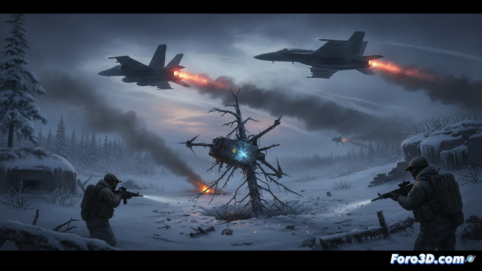
A 3D geospatial model of the region allows visualizing the enormous distance between Ukraine and the impact zone in Kouvola, Finland. By importing a model of a long-range drone like the UJ-22, we can simulate its theoretical range, revealing the need for a very northern launch point or external logistical support. The reconstruction of the probable intrusion route and the patrol zone of the Finnish F/A-18 Hornet fighters in a dynamic 3D environment helps analyze reaction times and critical interception points in the complex Nordic airspace.
Beyond the Impact: Simulation as a Geopolitical Tool 🧠
This case demonstrates how 3D modeling transcends simple illustration. By simulating this isolated event, we create a virtual test bench to evaluate vulnerabilities in non-conflict airspace. Technical visualization turns a news event into a tactical study object, allowing the projection of future scenarios and understanding how modern warfare blurs traditional geographical borders in a continuous three-dimensional space.
What software do you recommend for simulating projectile impacts on infrastructure?