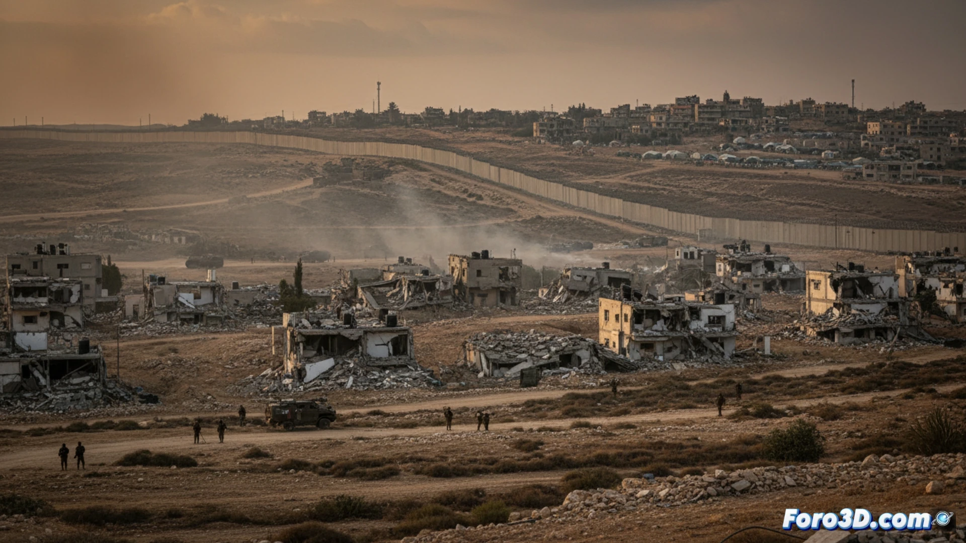
The recent statement by Israeli Minister Katz about demolishing Lebanese border villages raises a complex war scenario. Beyond political analysis, this situation is an ideal case study for 3D technologies. Through geospatial and architectural modeling, we can visualize the terrain, simulate the impact of demolitions, and evaluate the tactical effectiveness of creating a security zone, transforming the news into an objective spatial analysis.
GIS Modeling and Border Terrain Simulation 🗺️
The first step is a precise 3D model of the terrain, created with topographic and satellite data in a Geographic Information System (GIS). On top of this, the target villages and Israeli populations are georeferenced. Then, using simulation software, we can map the effective ranges of rockets launched from those points, visualizing the current risk areas. Finally, by digitally removing the structures, the new cleared zone is simulated, allowing analysis of its true utility as a visual and physical barrier, and its impact on the battlefield dynamics.
3D Visualization as a Critical Analysis Tool 🧠
These 3D recreations go beyond illustration. They allow quantifying the number of affected structures, evaluating landscape alteration, and anticipating logistical problems. By providing a clear spatial representation, 3D tools offer a framework for a more informed debate on the tactical and humanitarian consequences of war strategies, breaking down abstract concepts like security zone into analyzable data and geometries.
How can 3D modeling and simulation of complex urban environments help evaluate the strategic and humanitarian impact of a potential demilitarized security zone on the Israel-Lebanon border?
(P.S.: At Foro3D, we document war damage with the same precision as our meshes: millimeter-accurate) 📐