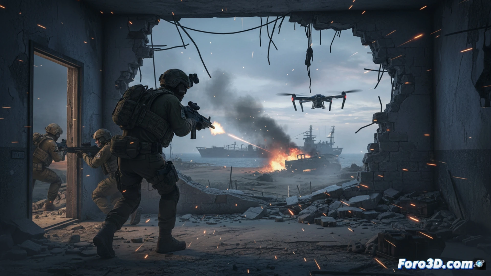
Israel announced the elimination of Alireza Tangsiri, Iranian naval commander, holding him responsible for the blockade of the strategic Strait of Hormuz. This event underscores the volatility of a critical route for global oil. At Foro3D, we propose analyzing these conflicts using 3D technology, enabling a spatial and tactical understanding impossible with 2D maps. Three-dimensional visualization is key to breaking down the geopolitical and military complexity of scenarios like this.
Geospatial Modeling and Simulation of the Strait 🗺️
A rigorous 3D analysis would begin with a precise geospatial model of the Strait of Hormuz, integrating bathymetry, maritime traffic, and coastal emplacements. Using GIS and modeling software, we could simulate the impact of a blockade, visualizing chokepoints and alternative routes. Recreating the reported operation would involve animating unit movements, detection ranges, and possible attack vectors, offering a clear tactical-spatial perspective. These tools transform the news into an interactive scenario for study.
3D Visualization as a Geopolitical Tool 🧩
Beyond tactical recreation, 3D modeling serves to contextualize strategic consequences. Visualizing the interdiction of crude oil traffic in 3D makes its global economic impact tangible. This methodology allows analysts and the public to evaluate escalation scenarios with new depth. The death of a high-ranking commander in such a sensitive location is not an isolated point on a map; it is a node in a network of tensions that 3D technology helps to unravel and communicate effectively.
Do you think digital twins can help in post-conflict reconstruction?