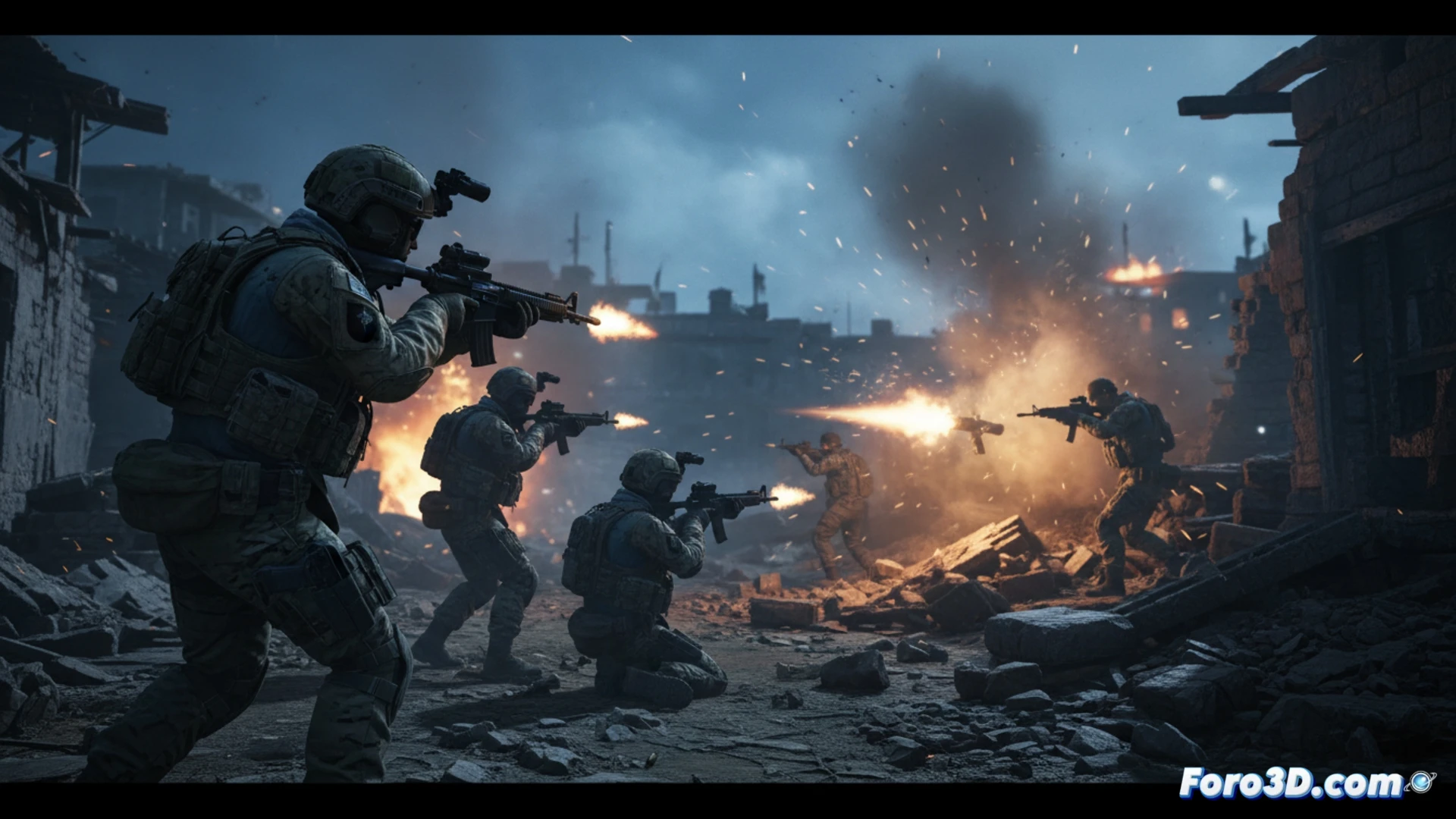
The recent incursion by the Israeli Alpine Unit, from Mount Hermon to the Shebaa Farms, is a complex tactical event. A traditional analysis is limited to flat maps and descriptions. However, 3D modeling tools allow us to transcend that limitation, reconstructing the mountainous terrain, simulating the advance route and the ambush in Taibé for a deep spatial understanding of the operation and its challenges.
Reconstruction of the terrain and 3D tactical simulation 🗺️
The first step is a geo-referenced 3D model of the area, from the slopes of Hermon to the Shebaa Farms. Over this terrain, we can trace the hypothetical incursion route, visualizing elevations, lines of sight, and natural cover. The ambush in Taibé can be simulated to analyze blind spots and advantageous positions. Overlaid 3D thematic maps would illustrate the stated objective of stopping Hezbollah and the claim of control up to the Litani River, offering a dynamic perspective on the territorial dispute.
From news to interactive spatial understanding 🎯
This approach transforms a report into an interactive analysis. Visualizing the operation in 3D reveals the logic of the terrain, the tactical risks assumed, and the complexity of the theater of operations. For forum members interested in simulation or intelligence, it demonstrates how 3D technology is crucial for breaking down modern conflicts, turning data into tangible tactical and geopolitical understanding.
How would you visualize the evolution of a conflict on an interactive 3D map?