The recent drone attack claimed by Iran against Israeli military targets offers a perfect scenario for analysis through 3D reconstruction. Digitally modeling the Haifa naval base, its submarine headquarters, and the Green Pine radar allows breaking down their strategic value and vulnerabilities. This technical visualization goes beyond the news, providing a spatial and tactical understanding of the conflict. At Foro3D, we propose using these tools to examine the real impact of damaging critical defense infrastructures.
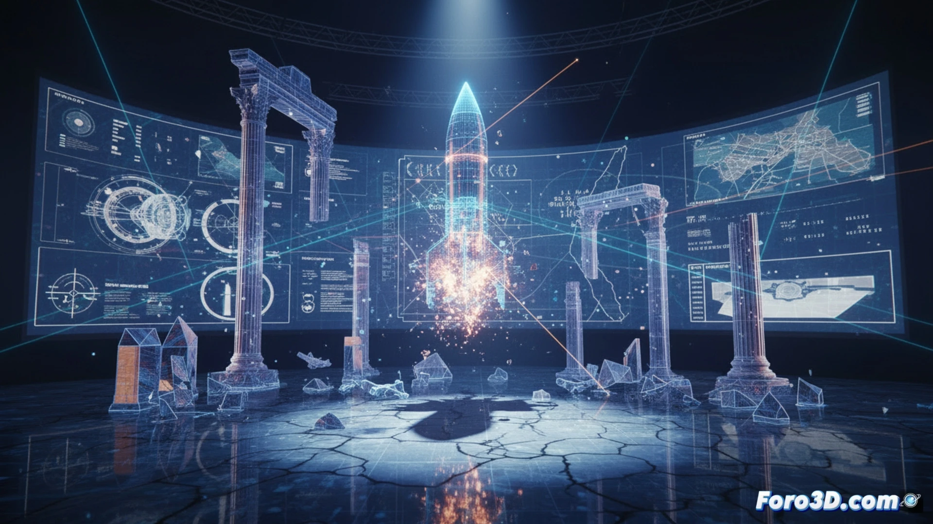
3D Reconstruction of Strategic Targets: from Haifa to the Green Pine Radar 🎯
A comprehensive 3D modeling project would begin by georeferencing and recreating the Haifa naval base, highlighting the layout of the submarine headquarters and its access points. In parallel, modeling the Green Pine radar, key to Israel's missile defense, is essential. The simulation would allow visualizing hypothetical damage from drone impact, analyzing how it affects its coverage arc and detection capability. By integrating these models into an interactive 3D map of the region, the distance of the attacks and the probable drone routes are contextualized, offering a unique geospatial perspective on the conflict and its tactical scope.
3D Simulation as a Geopolitical Analysis Tool 🗺️
Beyond the technique, this exercise underscores the power of 3D visualization to transform war reports into comprehensible structural and strategic analyses. By digitally breaking down a radar or a base, we understand why they are priority targets and what advantage the attacker seeks. These reconstructions, free of biases, become valuable resources for understanding the mechanics of modern conflicts, where the destruction of a technological asset can alter entire defense balances.
How can 3D modeling and simulation be used to determine the real effectiveness and possible countermeasures against a coordinated massive drone and missile attack, like the one carried out by Iran against Israel?
(P.S.: 3D simulation of conflicts will never replace peace, but it helps understand the magnitude)