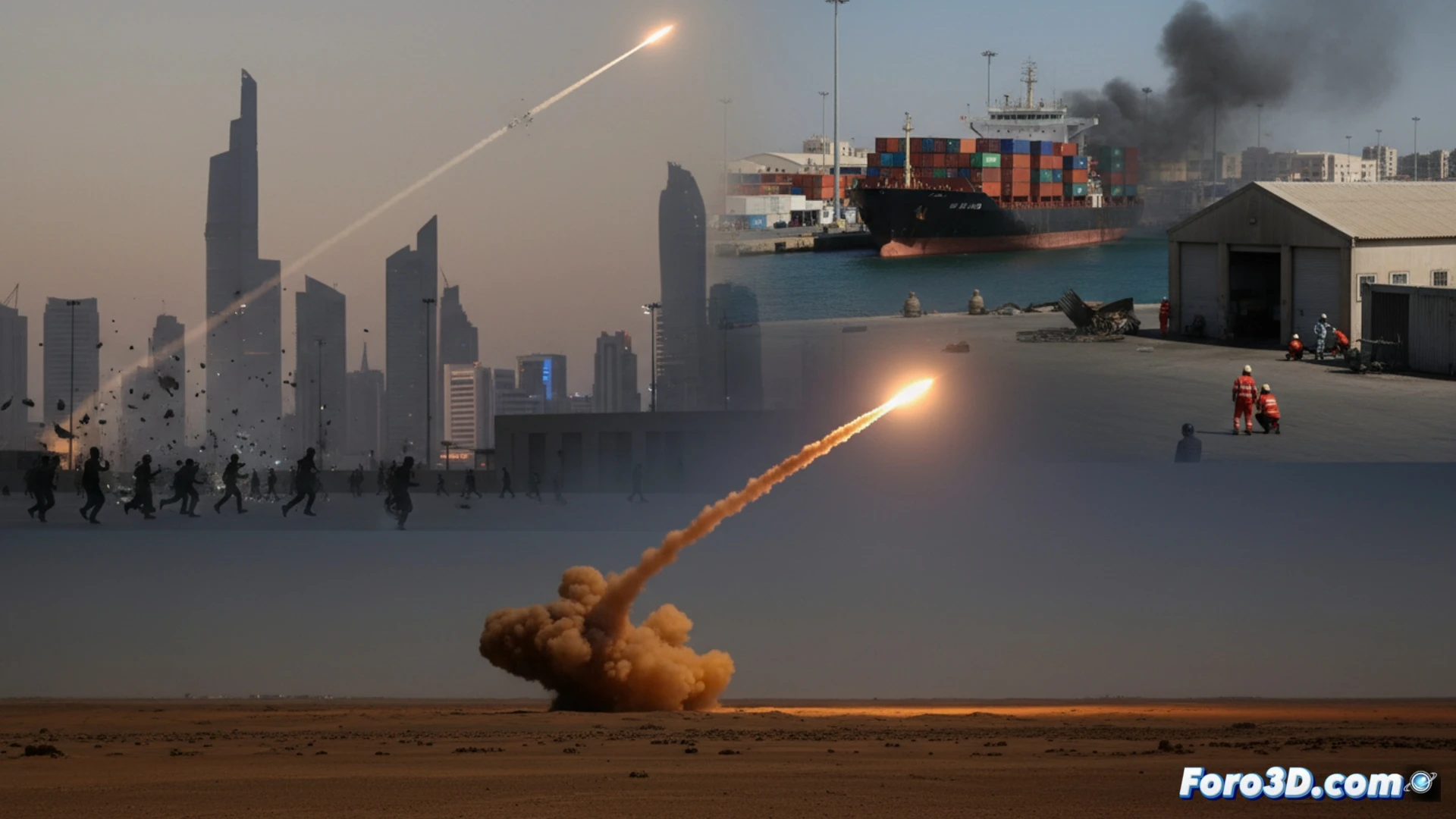
The recent missile and drone attacks in Yemen, Oman, and the United Arab Emirates mark a dangerous expansion of the conflict. To analyze these events beyond the reports, 3D technology offers key tools. Through geospatial modeling and simulation, we can reconstruct scenarios, trajectories, and impacts, transforming data into comprehensible visualizations that reveal the tactical and strategic dimension of this escalation.
Technical reconstruction: trajectories, damage, and interactive map 🗺️
A rigorous 3D analysis would begin by integrating GIS data on terrain and exact locations. For the attack on the Port of Salalah, the port infrastructure would be modeled to visualize the drone's impact point and the reported limited damage. Ballistic missile trajectories, such as the one intercepted in the Emirates, could be simulated in a 3D environment, calculating launch points and probable routes. The centerpiece would be an interactive 3D map of the region, overlaying layers of information: bases, critical maritime routes, and all incidents, creating a clear visual narrative of the escalation.
Visualize to understand: the strategic value of 3D 🎯
These reconstructions are not just illustrative. They allow analysts to evaluate attack patterns, defense effectiveness, and geographical vulnerabilities. For public disclosure, a 3D model explains the complexity of the conflict better than a thousand words, showing how an attack in Yemen affects Oman or the Emirates. In a scenario where neutrality is compromised, these tools help decipher the new and volatile geometry of regional power.
How would you reconstruct a historic building destroyed in 3D to document the damage?