The recent urgent U.S. warning in Iraq, alerting to missile and drone attacks against its embassy, defines a high-risk scenario. At Foro3D, we analyze how 3D modeling and simulation technology allows breaking down this complex crisis. These tools go beyond news reporting, offering precise geospatial visualization of threats, vulnerable infrastructures, and conflict dynamics, providing an invaluable layer of technical analysis.
Geospatial Visualization and Real-Time Threat Simulation 🎯
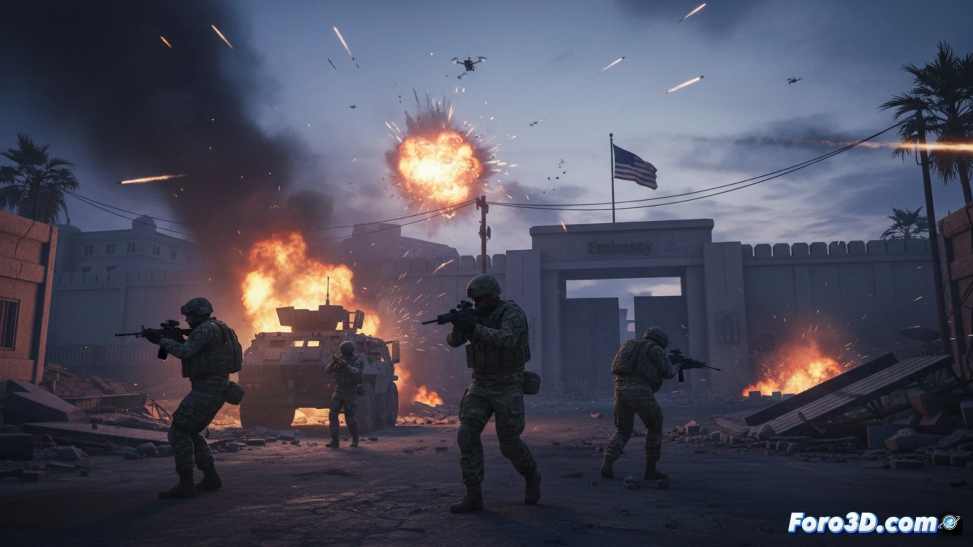
The practical application is direct. A geo-referenced 3D model of Baghdad and Erbil would allow visualizing risk radii around the Embassy and Consulate. Through simulation, probable trajectories of rockets or drones from historical launch points could be calculated and represented, identifying threat air corridors. Additionally, modeling critical infrastructures (energy, airports) enables analyzing potential structural impacts from different types of attacks, evaluating damage to structures and estimating consequences. These interactive 3D models serve as analysis tools for experts and for raising awareness about the precision and lethality of modern threats.
3D Cartography as a Tool for Strategic Awareness 🗺️
Beyond tactical simulation, this approach generates strategic awareness. A dynamic 3D risk map that integrates data on military movements, previous attacks, and civilian zones illustrates the complexity of the theater of operations. For citizens, visualizing the proximity of threats to hotels or airports makes the warning tangible. 3D technology transforms abstract data into clear spatial understanding, essential for analyzing asymmetric conflicts where geography is a decisive factor in vulnerability and defense.
How can geospatial 3D modeling and trajectory simulation improve the assessment of asymmetric threats, such as drone and missile attacks, in complex urban environments like Baghdad?
(P.S.: at Foro3D we document war damages with the same millimetric precision as our meshes)