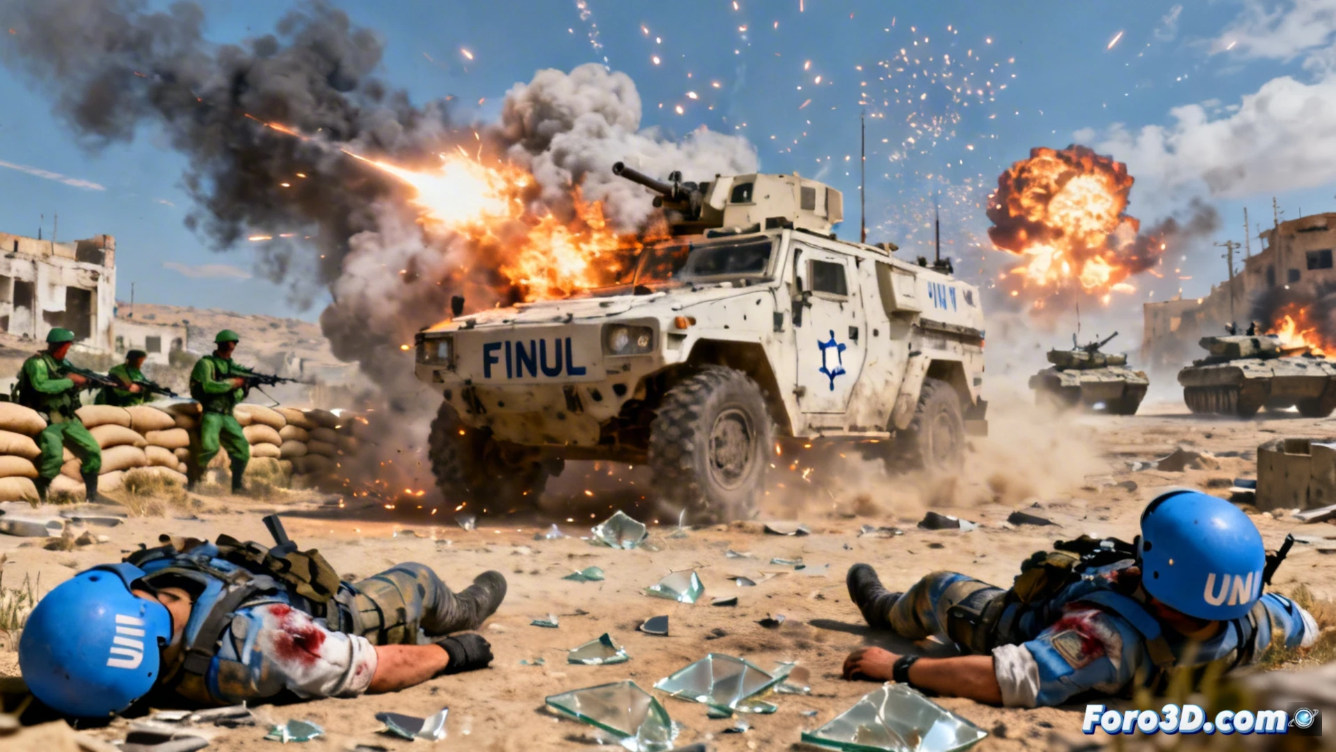
The recent attack that cost the lives of three UNIFIL peacekeepers in southern Lebanon underscores the volatility of the conflict. Beyond the news report, this incident represents an ideal case study for the application of 3D reconstruction technologies. Through photogrammetry and LiDAR scanning, it is possible to recreate the scene with forensic precision, analyzing the impact point, the vehicle's disposition, and the immediate surroundings. This digitization enables an objective investigation and a clear visualization of the facts.
Forensic reconstruction and damage simulation with digital twins 🔬
The key lies in creating a digital twin of the armored vehicle and its surroundings. From images and on-site data, a textured 3D model is generated where the projectile penetration, damage distribution, and possible attack trajectory can be studied. This simulation allows investigators to test hypotheses without altering the physical evidence. In parallel, 3D technology is crucial for modeling the Israeli proposal for a security zone, generating interactive topographic maps that illustrate territorial and logistical implications in the mountainous Lebanese terrain.
Visualize to understand the human cost of the conflict 💔
The coldness of geopolitical data acquires a tangible human dimension through these reconstructions. A 3D model of the destroyed vehicle communicates the violence of the impact with rawness, transforming the abstraction of a report into a striking visual representation. These tools serve not only for tactical analysis but also for documentation and memory, reminding us that behind every model are lives lost in the service of peace. 3D technology thus becomes a bridge between technical investigation and awareness of the true cost of war.
How would you visualize the evolution of a conflict in an interactive 3D map?