The recent arrest of six Ukrainians and one American in India, accused of training armed groups in Myanmar, uncovers a modern warfare operation. The accusations include drone smuggling and tactical training. This case, with possible political ramifications between Russia, Ukraine, and Southeast Asia, is ideal for a three-dimensional analysis that reveals the logistics and execution of such covert operations.
3D Modeling of the Operation: Logistics and Training 🗺️
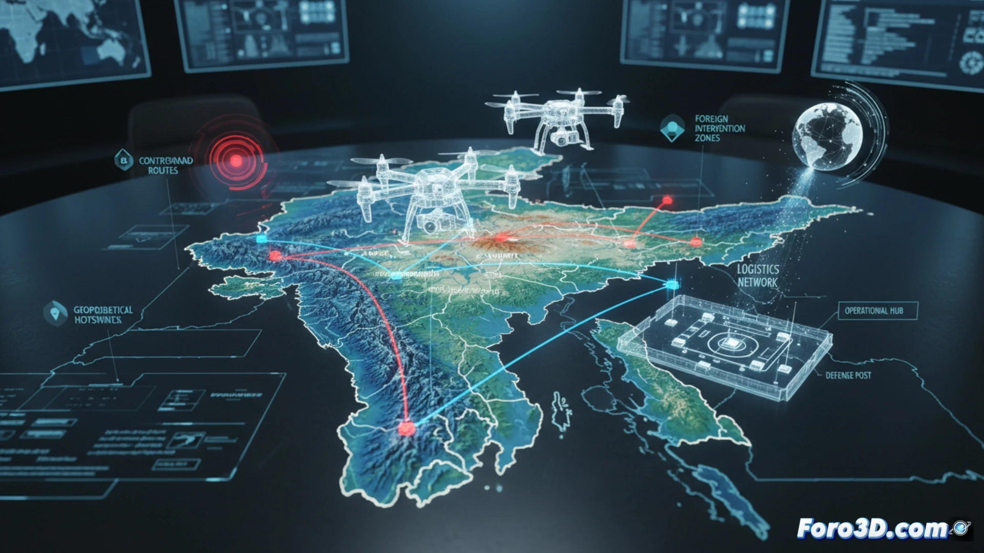
A 3D analysis allows reconstructing this network. First, the critical geography is modeled: the border between Mizoram (India) and Myanmar, identifying possible illegal crossing routes and areas suitable for covert training. Second, the logistics chain is simulated, visualizing the flow of drones and equipment from Europe to the camps in Myanmar. The core is to recreate the training scenarios: 3D simulations can show assembly, flight path programming, reconnaissance techniques, and coordinated drone attacks, explaining the technical complexity that the accused allegedly imparted.
The New Proxy War and its Digital Footprint 💻
This case, visualized in 3D, exemplifies a pattern of contemporary conflicts: the outsourcing of capabilities through instructors and technology. The digital footprint of this network, from tourist visas to equipment transactions, leaves a trail that agencies can follow. Spatial analysis reveals how remote border areas become tactical laboratories, extending the effects of a conflict, like that of Ukraine, to other global theaters in a covert manner.
How would you reconstruct in 3D a historic building destroyed to document the damage?