The global dependence on maritime routes such as the Suez Canal or the Strait of Malacca turns any blockade into a systemic crisis. In this article, we analyze the maritime supply chain disruption using 3D visualization, modeling alternative routes, simulating logistical delays, and quantifying economic losses. The goal is to expose how a single geopolitical point of failure can paralyze global production.
3D Modeling of Bottlenecks and Diversion Routes 🚢
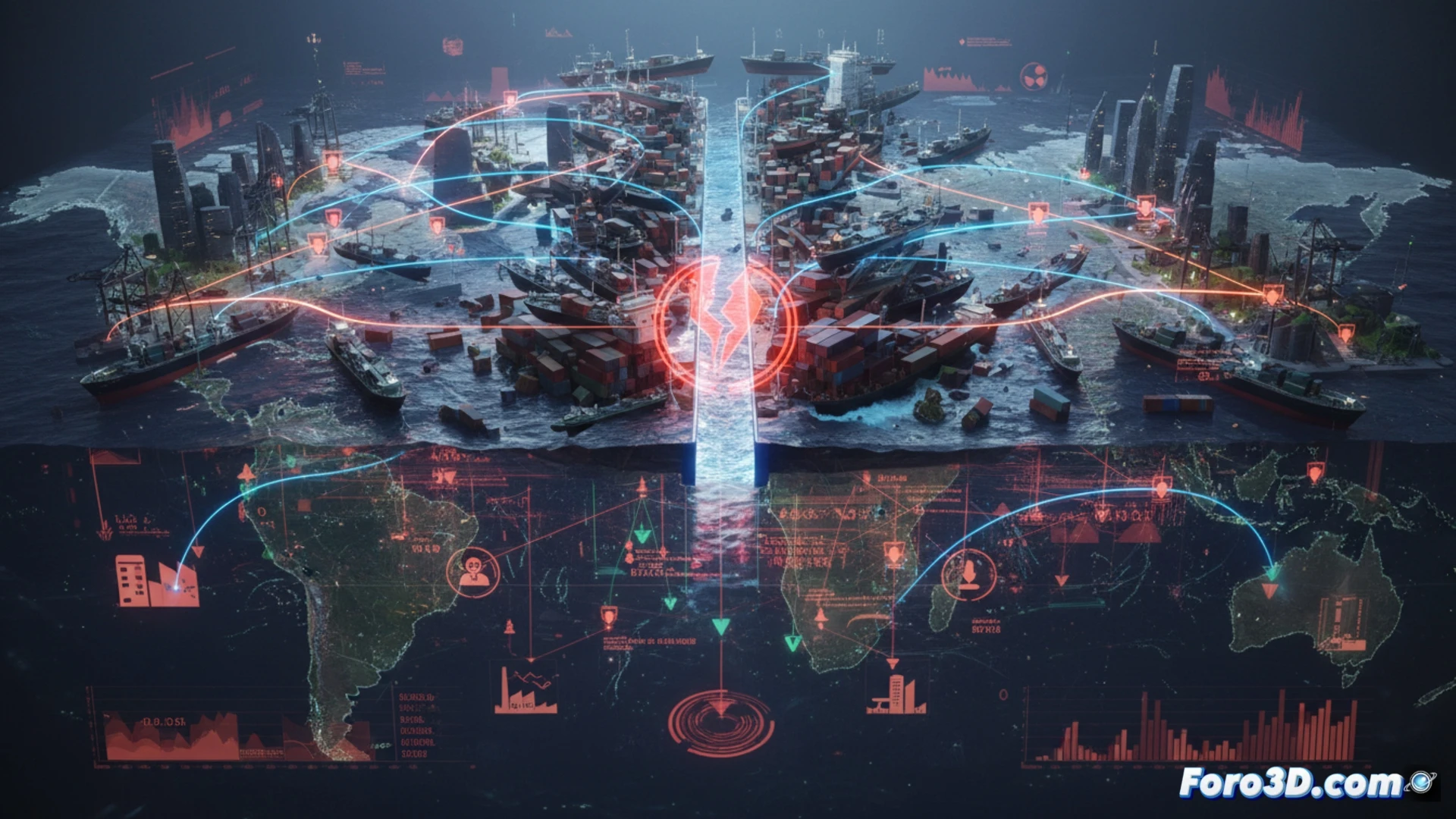
Using geospatial simulation software, we have recreated a blockade scenario in the Strait of Malacca, through which 40% of global maritime trade transits. The 3D animation shows container flows diverting towards the Lombok Strait or the Cape of Good Hope, increasing transit times by 12 to 20 days. Port density heat maps reveal immediate saturation in ports in Singapore and Colombo. The simulation quantifies direct losses of 9.6 billion dollars daily in merchandise value, not counting the costs of halted production in East Asian factories. The model allows adjusting geopolitical variables, such as naval intervention or the opening of alternative passages, to visualize the impact in real time.
The Hidden Fragility in Global Efficiency ⚠️
The maritime supply chain disruption is not an accident, but the materialization of extreme dependence. Every simulated alternative route reveals a system with no real redundancy: diversions collapse other ports and increase freight costs by up to 300%. The 3D visualization exposes that globalization, far from being resilient, operates on the brink of failure. The real risk is not the blockade itself, but the illusion that trade will continue to flow without a profound redesign of supply chains.
How would you model in a 3D environment the real-time cascade of failures that would be caused by the simultaneous closure of the Suez Canal and the Strait of Malacca in the global supply chain?
(PS: at Foro3D we know that a chip travels more than a backpacker on a gap year)