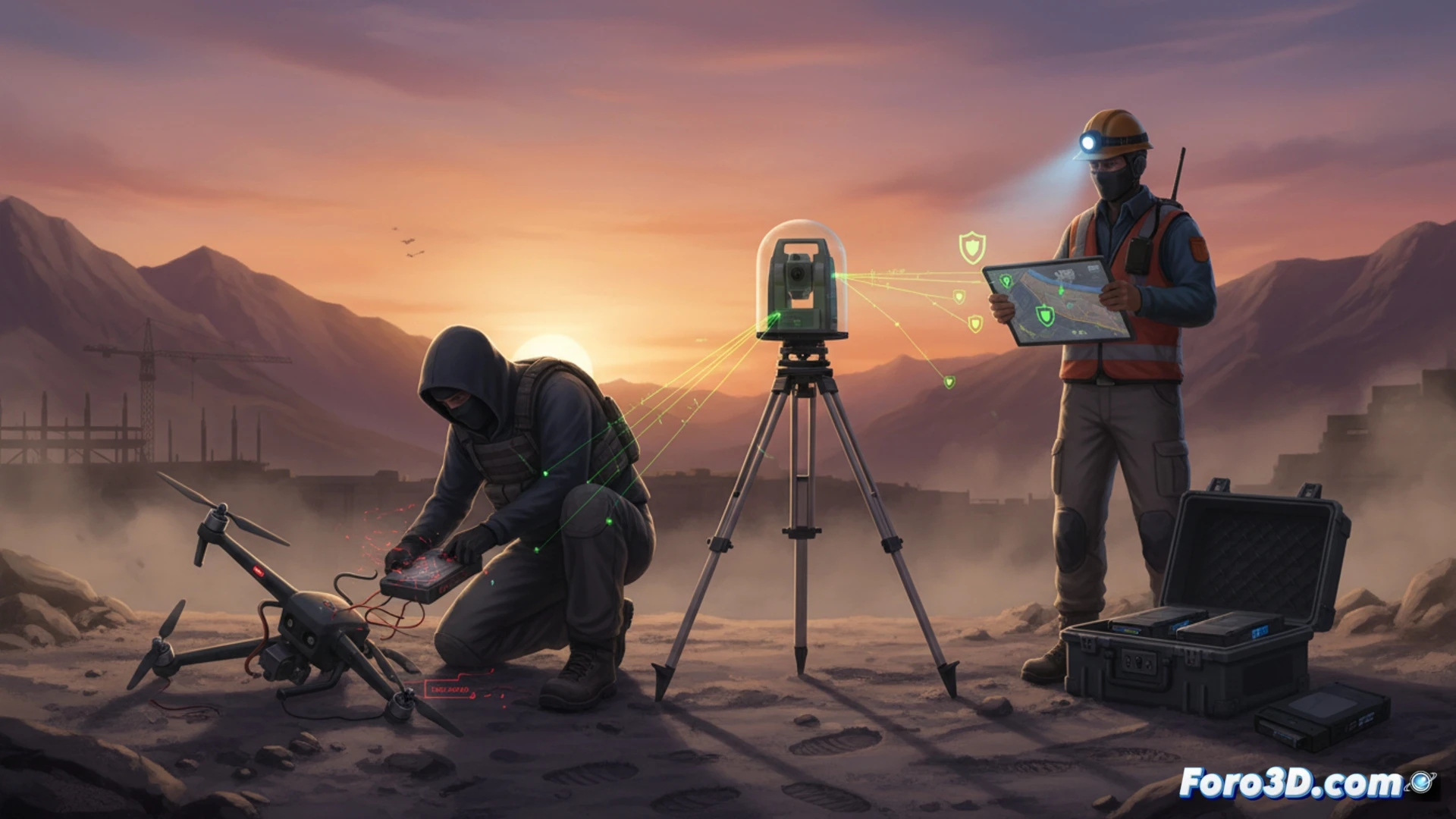
The recent news about a Sabotaged Chip in surveying equipment has put the geomatics community on alert. This incident demonstrates that the integrity of geospatial data is as fragile as the hardware that captures it. A simple act of sabotage on a drone or total station can introduce millimeter errors into 3D terrain models, compromising everything from earthworks to the foundations of critical infrastructure.
Forensic techniques for point clouds and LiDAR 🛰️
To detect sabotage in LiDAR or photogrammetric data, the first step is to analyze the point cloud density. An altered chip can generate ghost points or eliminate key areas of the terrain, creating artificial gaps. The technical solution is to implement cross-quality control: overlay the suspicious point cloud with a verification survey conducted using a high-precision total station or GPS. If discrepancies exceed the project's error threshold (e.g., 2 cm in an engineering model), the flight should be discarded. Additionally, reviewing the metadata of the LAS or LAZ file allows identifying whether the sensor recorded anomalous values for return intensity or scan angles that do not correspond to the actual terrain.
Field protocol hardening against sabotage 🔒
The best defense is prevention. Teams must implement a digital chain of custody protocol: each SD card or hard drive must be sealed and verified with a cryptographic hash (SHA-256) before and after the flight. It is also vital to perform an on-site calibration check using a reference prism or a fixed control point before starting the mission. If the drone or GPS chip shows a systematic drift in altitude or coordinates, it is a sign of tampering. In engineering projects, an undetected error can cost millions in recalibrations, making sensor redundancy and manual review of each tie point mandatory investments.
As a geomatics professional, what practical verification and hardening measures would you implement in your field workflow to detect or mitigate silent sabotage in the firmware of a 3D laser scanner or total station?
(PS: 3D surveying is like making a treasure map, but the treasure is an accurate model.)