Forensic analysis of collapsed structures has evolved with aerial photogrammetry. This article details the technical process for 3D modeling a real collapse from drone data, identifying failure vectors and the collapse propagation sequence. A case study is examined where the infrastructure failed due to material fatigue, allowing for a precise virtual recreation of the event.
Capture methodology and failure point simulation 🏗️
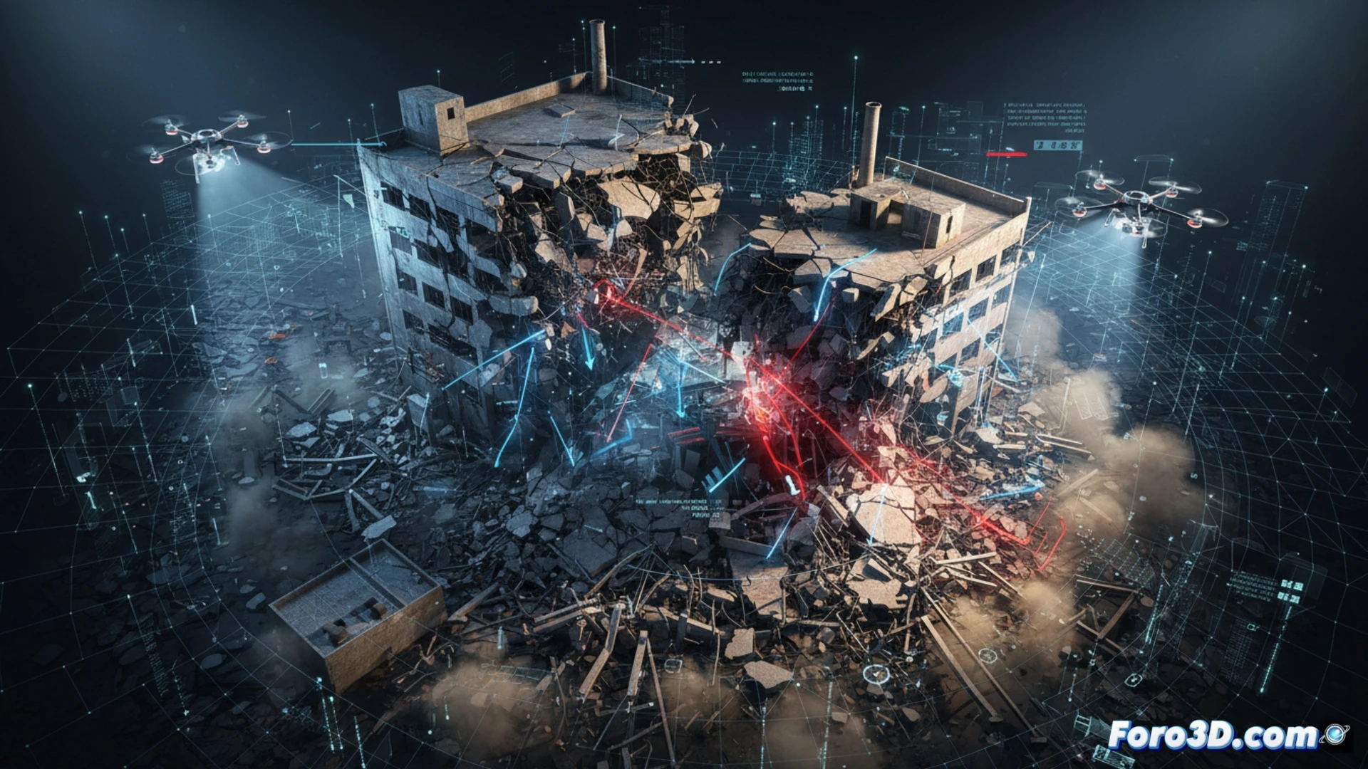
The model's foundation is a point cloud generated from high-resolution orthophotos taken by a DJI Matrice 300 RTK drone. 450 images were processed with Agisoft Metashape software to obtain a textured mesh of the post-collapse state. On this geometry, a finite element analysis was performed in ANSYS to simulate cyclic fatigue in structural joints. The results indicate that the failure originated at the beam-column connection node on the third level, propagating through lateral buckling. The virtual recreation shows that a 35% overload over the original design, combined with corrosion in the anchor bolts, was the direct cause of the collapse.
Lessons for prevention and resilient design 🛡️
Integrating aerial capture data with structural simulations not only allows determining the cause of the collapse but also establishes a predictive inspection protocol. It is recommended to conduct periodic flights with drones equipped with LiDAR sensors to detect submillimeter deformations in critical joints. Implementing these models in digital twins would allow alerting about material fatigue before the point of no return is reached, transforming reactive response into active prevention.
How to ensure metric accuracy in the 3D model when the point cloud obtained by aerial photogrammetry presents critical occlusions due to overlapping debris in a collapsed structure
(PS: Simulating a collapse is easy. The hard part is keeping the program from crashing.)