The sudden detachment of a monumental ice block represents a highly complex geophysical threat, capable of generating tsunamis or destroying critical infrastructure in glacial zones. This article analyzes how 3D simulation, combined with cutting-edge satellite data, allows predicting the fracture and trajectory of these masses, offering a vital tool for risk assessment and emergency planning.
Digital Twins for Fracture and Trajectory Simulation 🧊
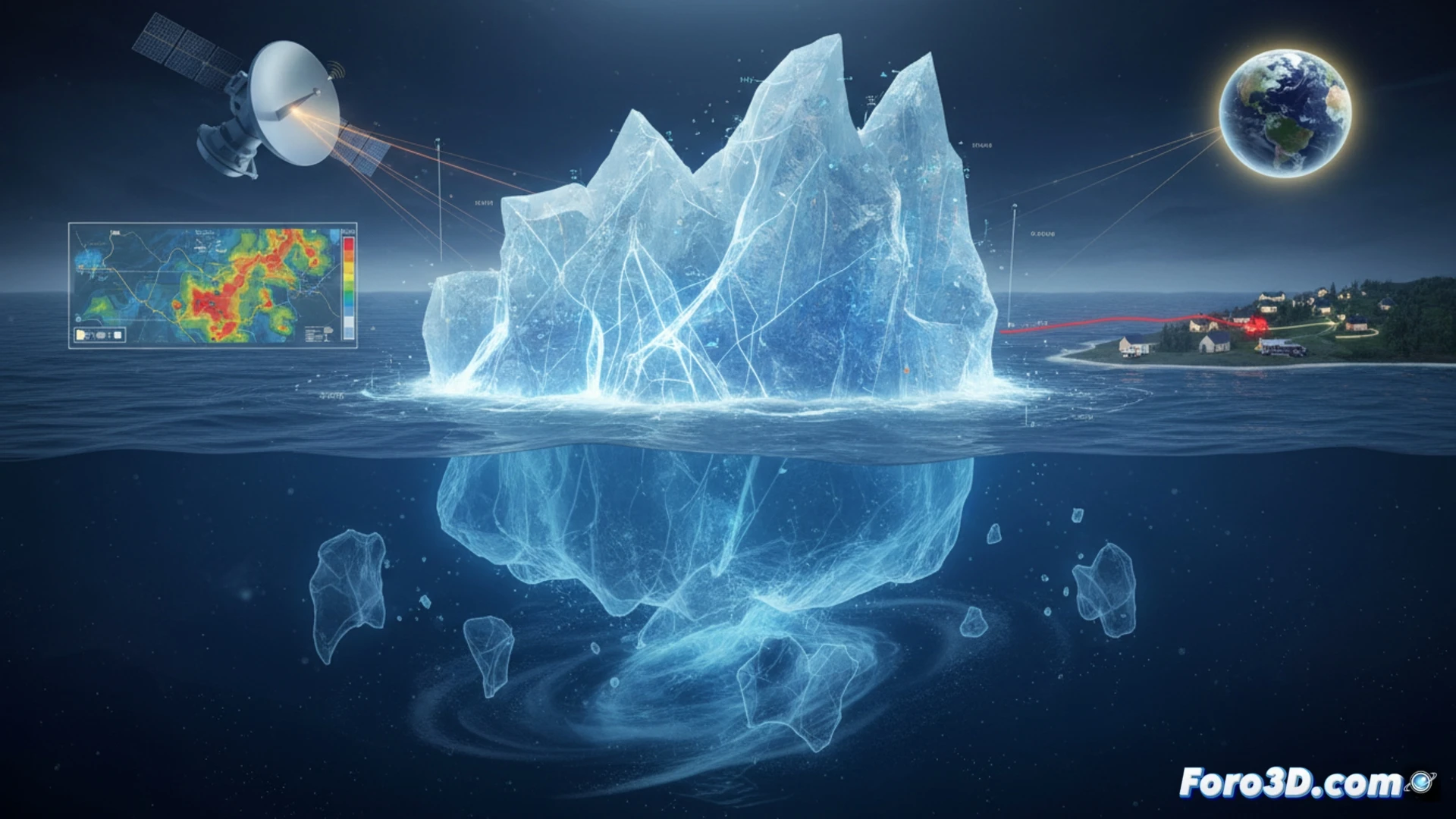
The 3D modeling of the phenomenon is based on creating a digital twin of the glacier or ice cliff. Using LIDAR topographic data and high-resolution satellite images, the exact geometry of the block is reconstructed. Finite element analysis allows simulating stress points and probable fracture lines. Subsequently, computational fluid dynamics (CFD) simulation calculates the block's trajectory, its sliding speed, and the volume of displaced ice. This process is key to predicting the height of the wave generated by the impact on the water and the extent of the exclusion zone for nearby infrastructure.
Towards a Real-Time Data-Based Alert System 🚨
The integration of IoT sensors into the digital twin allows transitioning from a static model to a dynamic early warning system. Fed with real-time seismic and surface deformation data, the 3D model can recalculate the probability of imminent collapse. This predictive capability is essential for activating evacuation protocols in coastal communities or navigation routes, transforming catastrophe simulation into an operational risk mitigation tool.
As a 3D modeler, what is the most critical parameter to simulate in order to predict the trajectory and impact energy of a monumental ice block in instability before its complete detachment?
(PS: Simulating catastrophes is fun until the computer crashes and you are the catastrophe.)