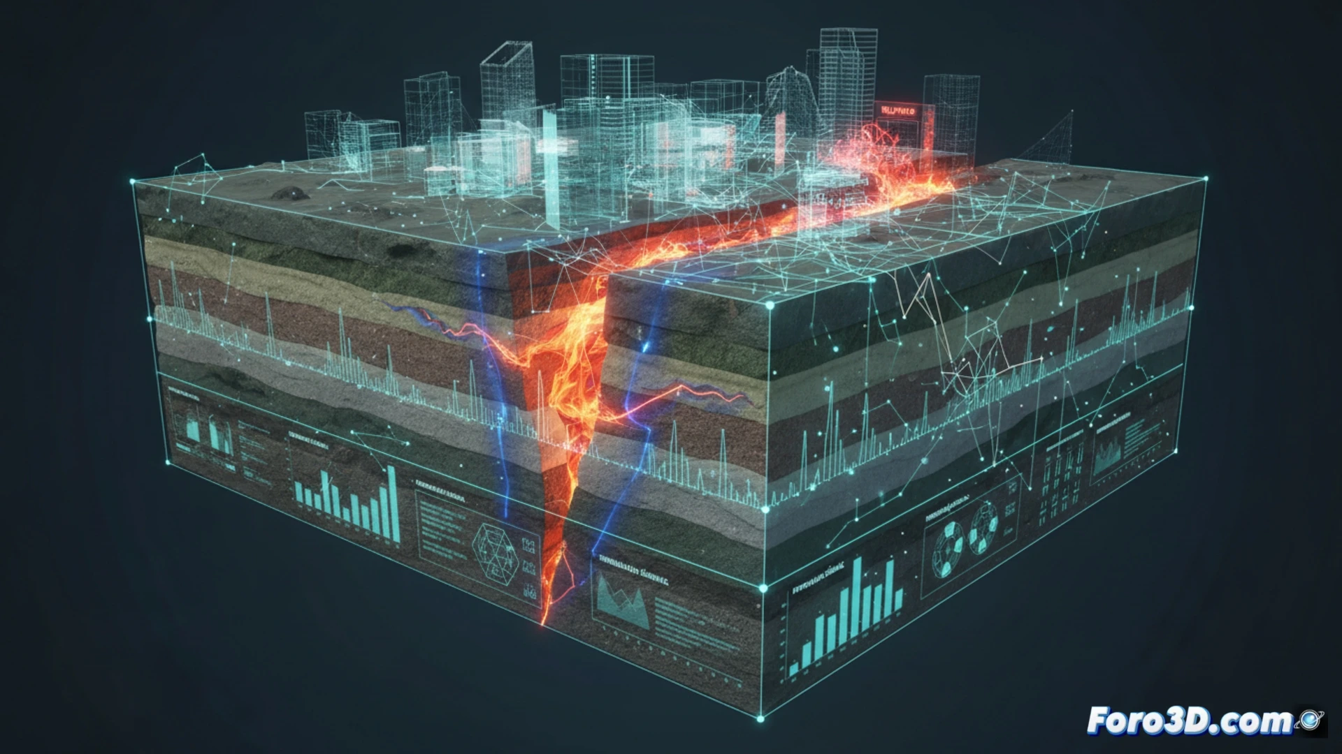
The Quesería Fault represents a critical point in the study of regional geodynamics, where tectonic plate displacement generates high seismic potential. To understand its behavior and mitigate risks, 3D modeling becomes an essential tool. This technical article details the process of digitally recreating the fault, integrating LIDAR topographic data and geological profiles to visualize its internal structure, identify stress accumulation zones, and simulate catastrophic rupture scenarios.
Geometric Reconstruction and Displacement Analysis 🏗️
The process begins with importing a digital elevation mesh of the terrain affected by the fault. Using parametric modeling software, the main fault plane is defined based on field data (dip and strike). Displacement modifiers are applied to recreate the vertical and horizontal offset observed on the surface. Subsequently, a fractured terrain volume is generated by subdividing the mesh along the fault plane and applying differential movement vectors. For seismic wave simulation, a particle system or wave deformers that travel through the rock volume is implemented, visualizing energy propagation from the hypocenter. Finally, rasterized vulnerability maps are overlaid onto the 3D model, coloring areas with a higher probability of liquefaction or slope sliding.
Visualization as a Resilience Tool 🛡️
Beyond digital aesthetics, this 3D model serves as a virtual laboratory for urban planning and emergency response. By rotating the camera around the fault, engineers can identify secondary rupture points and assess the impact on critical infrastructure such as bridges or pipelines. The ability to isolate geological layers allows geologists to study displacement history without costly excavations. In a niche where prevention saves lives, the 3D-modeled Quesería Fault transforms into an interactive educational document, demonstrating that technology is the best ally against nature's uncertainty.
Which geological and structural parameters are most critical to model in 3D to accurately predict the seismic behavior of the Quesería Fault and improve prevention strategies?
(PS: Simulating catastrophes is fun until the computer crashes and you are the catastrophe.)