Geological engineering has taken a qualitative leap with the creation of virtual replicas of seismic faults. These three-dimensional models, fed with field data and paleoseismicity studies, allow visualizing the exact geometry of a fracture in the subsurface. For the catastrophe niche, this technology is key, as it transforms static data into dynamic rupture simulations, offering an unprecedented tool to predict ground behavior during an earthquake.
Technical process of 3D reconstruction and simulation ⚙️
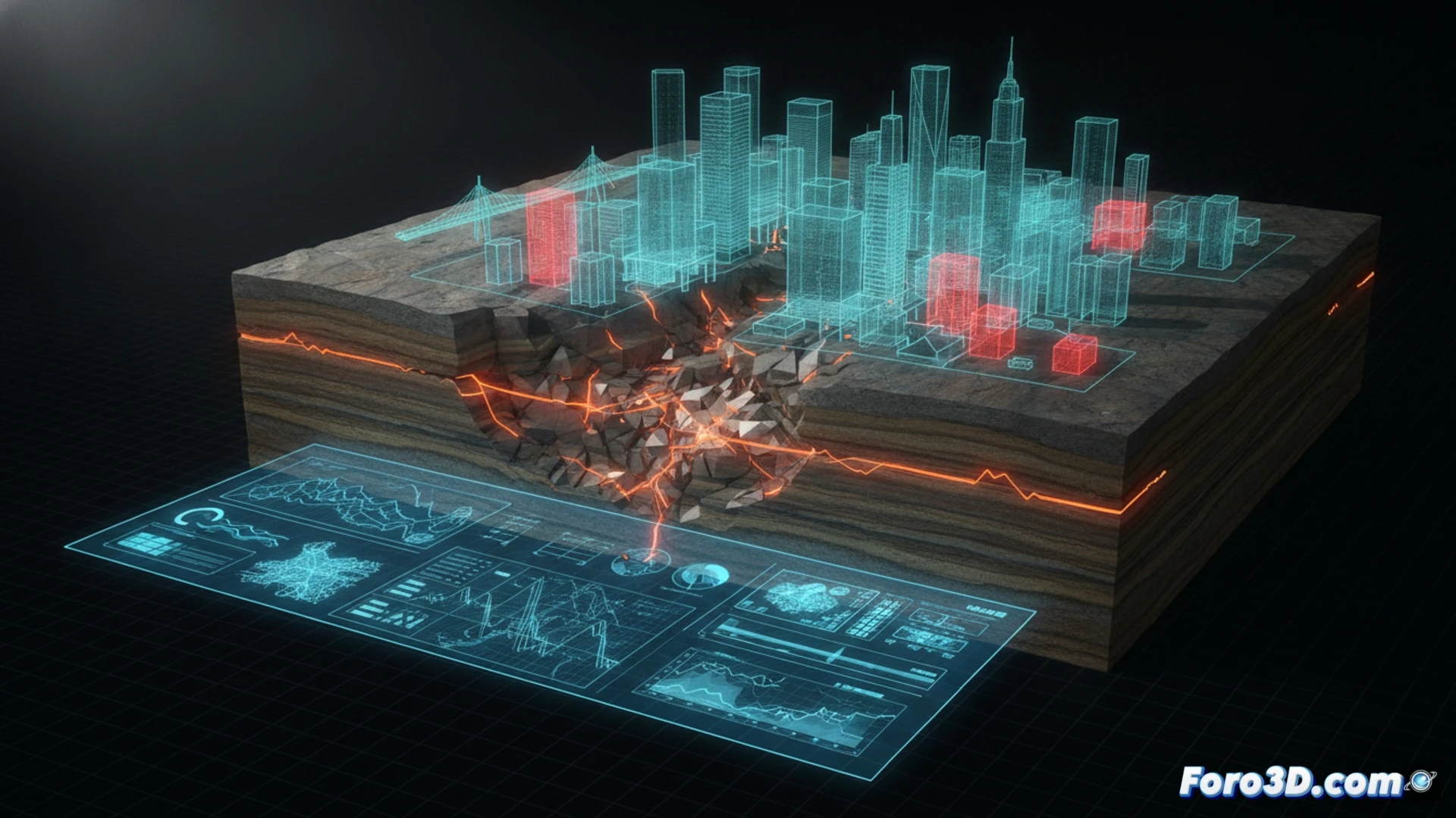
The process begins with the digitization of reflection seismic profiles and high-precision GPS data. Using geological modeling software, a 3D mesh is generated representing the fault plane and surrounding rock units. Once modeled, friction laws and mechanical properties of the material are applied to simulate cosismic rupture. The result is an animation showing the propagation of P and S waves from the hypocenter, allowing evaluation of ground motion in nearby cities. This is vital for calculating potential damage to critical infrastructure such as bridges, dams, or gas pipelines.
Towards data-driven disaster prevention 📊
Beyond visual realism, the value of these simulations lies in their ability to inform emergency plans. By visualizing how a fault deforms in 3D, civil engineers can redesign buildings to withstand the specific stresses of an area. Ultimately, this technical approach turns an abstract geological threat into a manageable scenario, saving lives by anticipating the catastrophe before it occurs.
How does the accuracy of 3D seismic fault modeling affect the predictive capability of catastrophe simulations and the planning of resilient infrastructure in high-risk areas?
(PS: Simulating catastrophes is fun until the computer crashes and you are the catastrophe.)