Elephant poaching is not just an ecological crime; it is a transnational business that moves billions of dollars. To combat it, analysts have left plain text reports behind. Today, geographic tracking of ivory relies on 3D technologies that visualize the illegal flow from African grasslands to Asian workshops, revealing blind spots in the global supply chain.
Photogrammetry and flow simulation in the supply chain 🗺️
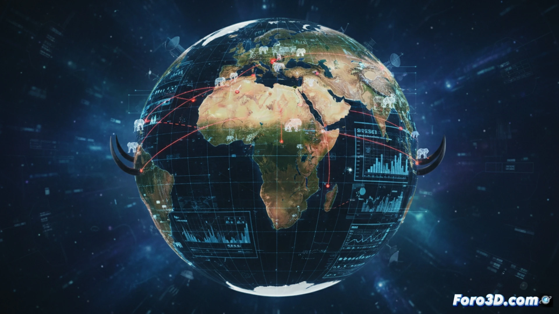
The process begins with photogrammetry of seized tusks. 3D scanners generate volumetric models that, combined with isotopic analysis, allow tracking the geographic origin of the ivory. This data is integrated into geographic information systems (GIS) that model smuggling routes. Tools like ArcGIS or QGIS allow simulating the flow of critical materials, overlaying risk layers: armed conflict zones, port corruption corridors, and customs control points. The 3D visualization of these routes shows how ivory is fragmented into small shipments to evade satellite surveillance, creating heat maps that identify the most vulnerable logistical nodes in the geopolitics of illicit trade.
The map as a diplomatic weapon ⚔️
This approach not only stops shipments; it redefines international relations. By exposing how ivory from Tanzania transits through Mozambican ports before reaching Vietnam, 3D maps pressure governments to strengthen their customs. The visualization of geopolitical dependencies, such as the connection between armed groups and ivory routes in the Great Lakes region, turns these models into compelling evidence for trade sanctions. In the fight against trafficking, three-dimensional data has become sharper than any hunter's knife.
How can 3D modeling systems and geopolitical analysis of illegal routes expose the corruption networks that facilitate ivory trafficking from Africa to Asian markets?
(PS: 3D geopolitics looks so good it makes you want to invade countries just to see it rendered)