The recent detection of an error in an urban LiDAR system has brought to the table a reality that every 3D surveyor knows: millimeter precision is an ideal, not a guarantee. In city environments, where digital twins demand accuracy, a calibration failure or atmospheric interference can generate catastrophic distortions in the point cloud, compromising the reliability of the entire survey.
Technical Causes of Error in Urban Scanning 🛰️
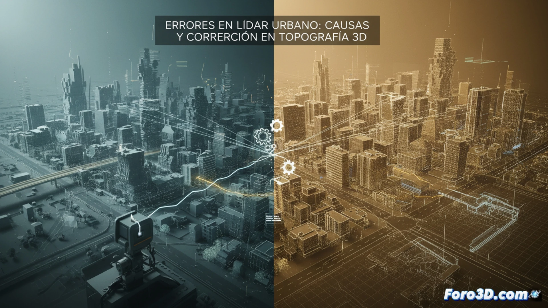
Errors in urban LiDAR usually originate from three main factors. First, sensor calibration failures, where angular deviation of the mirror or laser axis generates a systematic displacement in X, Y, Z coordinates. Second, atmospheric interference such as dust, smog, or heavy rain, which attenuates the signal and generates ghost points or white noise in the cloud. Third, and most critical in cities, specular reflections on glass, mirrors, or polished metal surfaces, causing multiple bounces of the laser pulse, producing points with erroneous coordinates that deviate from the real object. These artifacts, if not filtered, degrade the quality of the 3D model and the precision of the digital twin.
Best Practices to Mitigate Risk 🛠️
To avoid these errors, it is crucial to implement a daily calibration routine of the LiDAR sensor before each urban campaign. Additionally, capture should be planned during times with lower atmospheric pollution and avoid highly reflective surfaces; if unavoidable, multiple passes with varying incidence angles are recommended. Post-processing using statistical point density filters and cross-validation with GNSS ground control points allow for correcting deviations, ensuring that the city's digital twin maintains its topographic reliability.
As a 3D surveyor, what has been the most unexpected error you have faced in an urban LiDAR survey and what correction method did you apply to save the project?
(PS: 3D surveying is like making a treasure map, but the treasure is an accurate model.)